Moses Coulee is a big eroded valley with barely a trace of a stream. It's sort of the classic scabland coulee, carved quickly through the layered basalts (which are much older) by torrential floods released along the front of the glaciers during the last ice age. Interestingly enough, there is evidence suggesting that Moses Coulee is not a result of the Lake Missoula Floods, but instead dates to sometime a little earlier (and a different source of the flood waters).
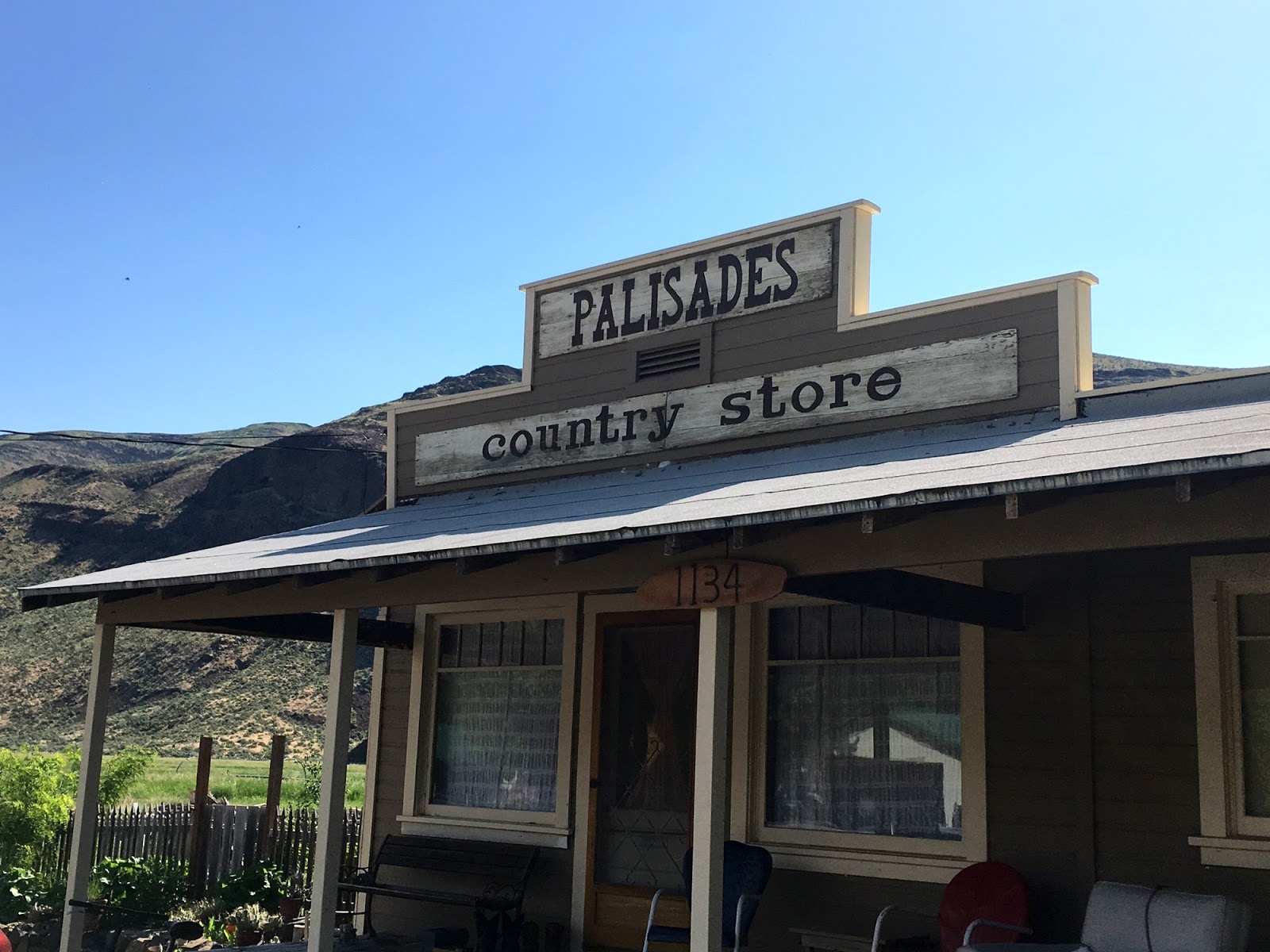
The lower reach of Moses Coulee is well defined, with a distinct dogleg a little above Palisades. Farm fields cover the flat, mile-wide valley floor - the walls are cliffs carved into the Columbia River Basalts. There appear to be places where the basalt edges have slid into the valley. And there are still places where giant current ripples from the floods are preserved - though to see them you need low lighting angles, aerial photos, or at least some idea of what to look for.
The upper end of the lower coulee is marked by a cul de sac of cliffs. The road turns to gravel and climbs steeply up Three Devils Grade to the high plateau of Sage Brush Flats, where rolling wheat fields, range land, and views of the Cascades replace the canyons and cliffs.
The upper reach, which more people are familiar with because US 2 crosses it between Waterville and Coulee City, is also a very distinct canyon. But in between, the flood flows spread out into multiple channels and left a complex (and difficult to access) landscape.
I rode my bike from the bottom of the Coulee - down near SR 28 and the Columbia River - up through Palisades and up to the top of Three Devils Grade. I went a couple more miles, but decided to turn back, rather than continue on to either Ephrata or Rimrock Meadows. Along the way I passed bird field trips and geology field trips - but not many other folks. The wind seemed to be against me both ways in the Coulee - some combination of bicycling illusion and meteorological reality.
Then I drove the car back up, continuing all the way to Jameson Lake (twenty minutes on a gravel road north of US 2), where the small fishing resort had a store with cold drinks.


No comments:
Post a Comment