Sunday, September 21, 2014
Coeur d'Alene
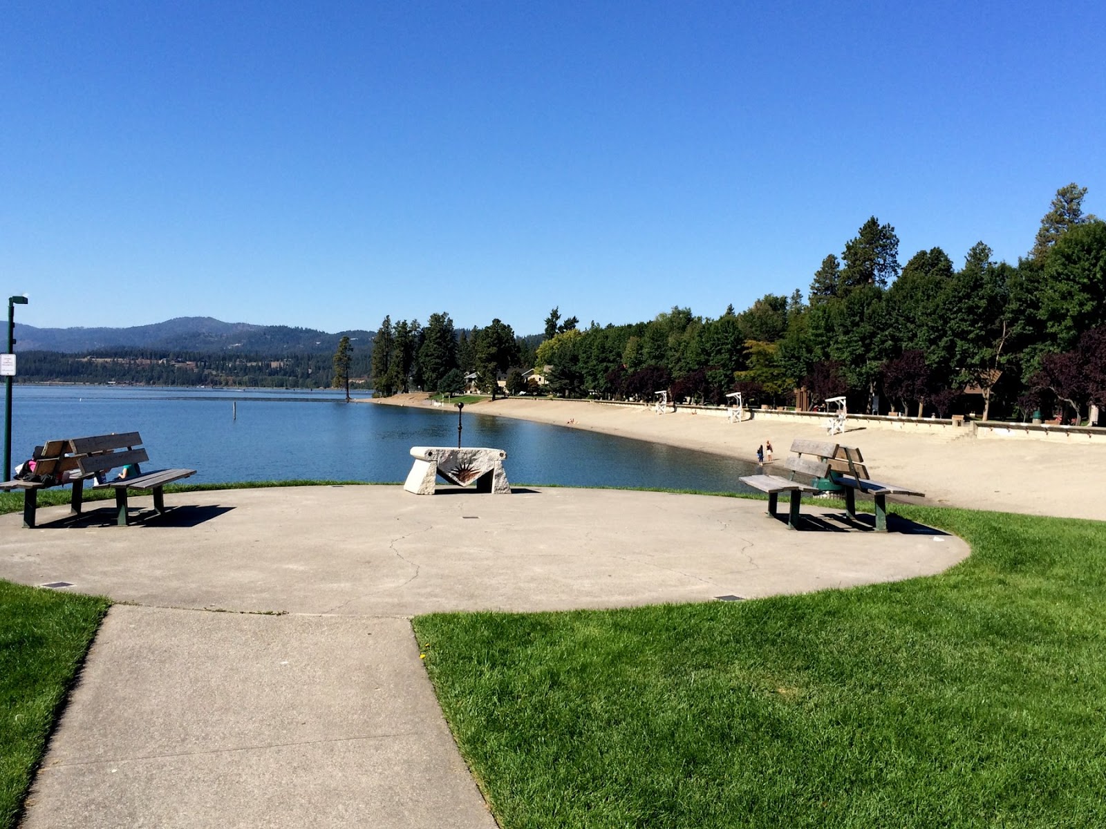
We stopped here going both ways - Saturday, the 6th, and Monday, the 15th. The main motivation in both directions was coffee, although on the way out we ended up having the most amazing grilled cheese sandwiches for dinner (I can't recall if we ever got coffee). On the return trip, I picked up coffee at Calypsos (Java on Sherman has been our regular stop on previous trips but I wanted to try something new), before going down to the lake to check out the beach (the only beach of the trip, as far as I can remember).
We were home by dinner time. Now I get to start planning the road trip back to Minnesota next June for graduation.
Labels:
idaho,
roadtrip2014,
vacation
Location:
Coeur d'Alene, ID, USA
Pompey's Pillar
This is the first time we've driven this section of I-94 east of Billings (perhaps since I was a kid), despite the large number of trips we've done through this part of the world. Somehow, we've just wound up on other routes. So this was the first time we've visited Pompey's Pillar.
Labels:
montana,
roadtrip2014,
vacation
Location:
Yellowstone County, MT, USA
North Dakota
We spent Saturday night in Dickinson. As we drove into town, M was texting with D about some issues with scheduling his GREs. Ironically, I took my GREs in Dickinson way back in 1982, while living in the apartment on Prairie Avenue. The apartment is still there (we drove past), although the Schlumberger shop has long since moved.
These pictures are from several different spots along I-94. The Continental Divide sign is between Valley City and Jamestown in eastern ND and marks the divide between Hudson's Bay and the Mississippi. The others are from a rest area near Glen Ullin, from the Geese in Flight sculpture marking the "Enchanted Highway," and the badlands in Teddy Roosevelt National Park.
You can tell this trip that I've been experimenting more with the panorama format on the iPhone.
Labels:
National Park,
north dakota,
roadtrip2014,
vacation
Location:
Dickinson, ND 58601, USA
Northfield
We're back again, for the fourth September in row, dropping D off for his senior year. (I guess we actually came through a year earlier, too). We just spent one night. Long enough to help him find his stuff from June and move it across campus into his new dorm room. We arrived late afternoon on Thursday and M and I headed out towards Minneapolis after lunch on Friday.
My sore foot and the gray weather sort of discouraged me from my normal early morning walk along the river, and so I have few good pictures this time around.
Northfield/Carleton
July 2010
September 2011
September 2012
September 2013
Labels:
minnesota,
roadtrip2014,
vacation
Location:
Northfield, MN, USA
Sioux Falls
It's so easy to generalize the Great Plains or the Midwest into monolithic landscapes - horizontal, two-dimensional landscapes. And there is some validity to that, but what's neat to me is that this is exactly what makes their hills and their valleys and their forests and their waterfalls so interesting.
Geologically, it's also easy for me to forget that bedrock, sometimes very old bedrock, can be exposed in these areas - not just covered in a blanket of glacial silt or tilled corn fields.
Driving from Seattle to Boston on I-90, you might never stop to think that there really are falls in Sioux Falls (and you would certainly never see them), but that's why it is important to get off the highway now and then.
During the last ice age, the Big Sioux River got rerouted by the glaciers and then it eroded down to bedrock - in this case the incredibly resistant Sioux Quartzite - and the modern falls were formed. Just like along the fall line of the Atlantic Seaboard, waterfalls were navigation barriers and power sources, so cities were built.
The Sioux Quartzite is roughly two billion years old (half the age of the earth and long before any kind of life we would recognize). And two billion year-old ripples are still preserved on its eroded surface.
Labels:
roadtrip2014,
south dakota,
vacation
Location:
Sioux Falls, SD, USA
Badlands
Despite the bleak weather, we drove the loop through the Badlands. It's still a neat landscape, even if the colors and the relief are a bit muted by the gray backdrop and the lack of shadows. My first memory of a trip through here - when I was a kid - was of an electrical storm. And every time I come back, that's what I'm hoping for.
We didn't stop at Wall Drug. D enjoyed his first visit, when he was very young, but since then he's sort of resented the stop - something about touristy and stupid (Wall Drug 2011). So we had to forego the free ice water and the chance to perch our child on a the back of a dinosaur (or was it a jackalope?), but I could rest easy knowing that I had a "Wall Drug" bumper sticker above the map above my desk at home - right next to "Sea Lion Caves" and "This Car Climbed Mt. Washington."
Labels:
National Park,
roadtrip2014,
south dakota,
vacation
Black Hills
The Black Hills were misnamed for this trip - they would better have been called the gray hills. The cold damp overtook us and stuck around for our drive into and through South Dakota. The walls of Spearfish Canyon were barely visible and the colorful rocks not quite so colorful.
We stayed in the old Town Hall in Lead, which was cool. We would have had a nice view of the old Homestake Pit (gold mine) across the street, but the clouds were too thick to see the other side. We ate in the old round house and then went down to Deadwood so M and D could gamble (they play different games and different stakes - we will embarrass neither by saying more).
Folks were a bit nervous about the forecast of snow, having been completely buried by the early season blizzard last year. Fortunately, this time they only got a few inches, whereas last year they got several feet.
Labels:
roadtrip2014,
south dakota,
vacation
Location:
Lead, SD, USA
Little Big Horn
There's not a whole lot of anything but grassland (and Billings) between Red Lodge and Belle Fourche, but US 212 through southeast Montana was uncharted territory, at least by us, so we took the road less traveled.
There were no shortage of battles between Native Americans and 19th Century U.S. soldiers. Some are better memorialized than others. Some were real battles, some were small fights and skirmishes, and some were brutal and lopsided massacres. Some mystery still remains about the details, but the bottom line is that Custer lost this one. But it also represented one of the last, brief victories for the tribes and despite their success here, is as much reminder of that ultimate loss as that of the US Cavalry.
I think I'm just intrigued by the geography of historical events and the notion of standing in the same landscape, in the same footsteps, as these earlier people.
Labels:
montana,
roadtrip2014,
vacation
Beartooth Pass
The Beartooth Highway isn't exactly the most direct route between Seattle and Minnesota, but for some reason, we keep coming back. Maybe it's because it isn't the most direct route. But as much as anything, it's about being able to drive through a landscape not normally accessible to station wagons. The high plateau offers incredible vistas across both this range and the Absarokas, as well as down into the Clarks Fork and Rock Creek Valleys.
Beartooth Highway 2010
We woke in Red Lodge the next morning to cold drizzle and we understand the pass was closed later in the day for a little while due to snow.
Labels:
montana,
roadtrip2014,
wyoming
Location:
Carbon County, MT, USA
Midway Geyser Basin
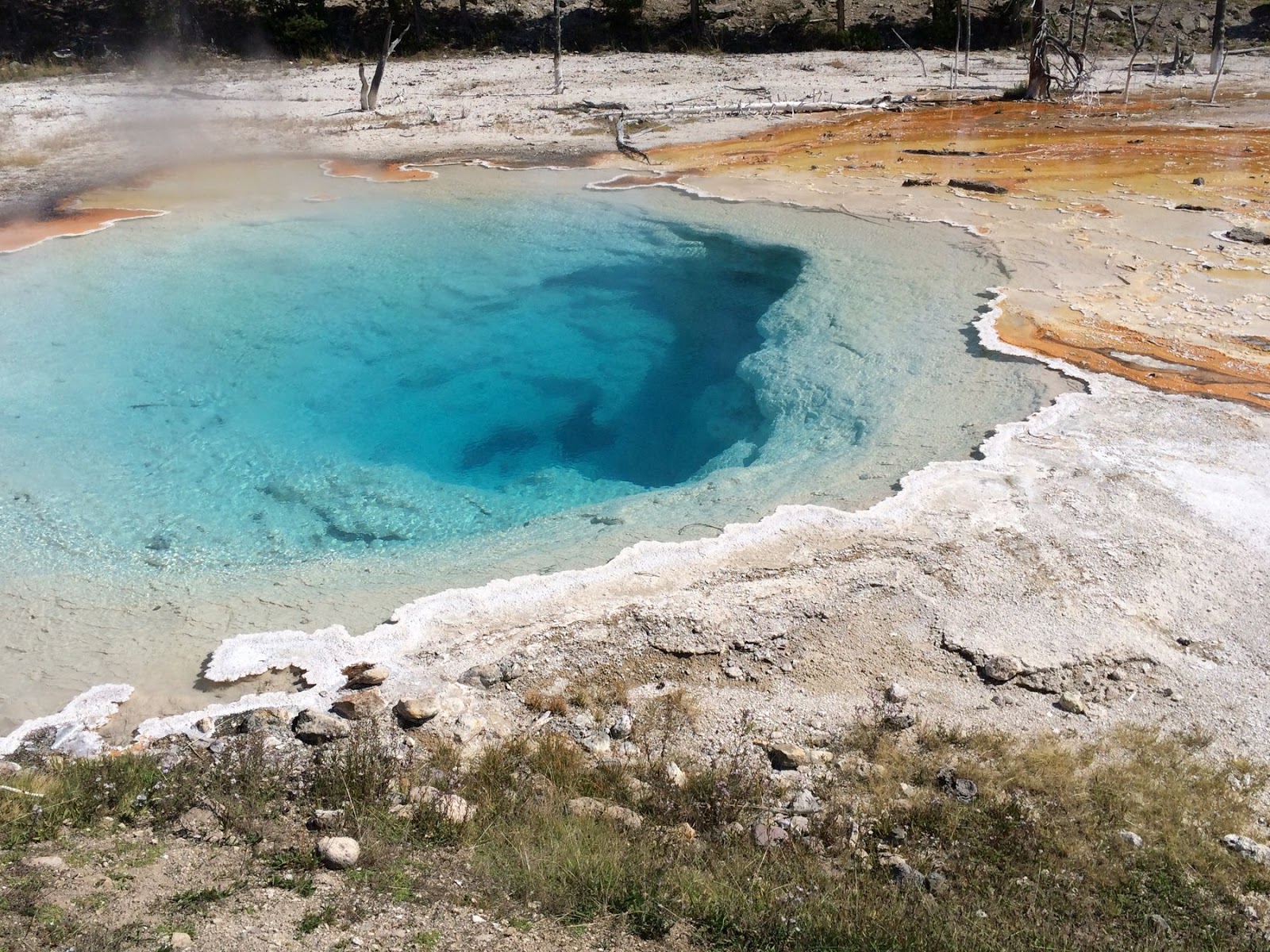
We didn't allow much time for Yellowstone on this trip - wanting to get over the Beartooths before dark - so no Old Faithful, no Yellowstone Falls, no Mammoth Hot Springs, and none of those beautiful gravel beaches on Yellowstone Lake (Yellowstone 2012). But we did detour south from Madison Junction to visit Midway Geyser Basin. We even found parking - sometimes a challenge here - and wandered the boardwalk loop.
Labels:
montana,
National Park,
roadtrip2014,
wyoming
Location:
Yellowstone National Park, United States
Yellowstone
Yellowstone isn't about spectacular peaks and high passes - save that for Rocky Mountain or Glacier. It has both, but they're less accessible to most folks and are somewhat overshadowed by Yellowstone's better known sideshows - like waterfalls and geysers and large mammals. But it still has incredible high country scenery.
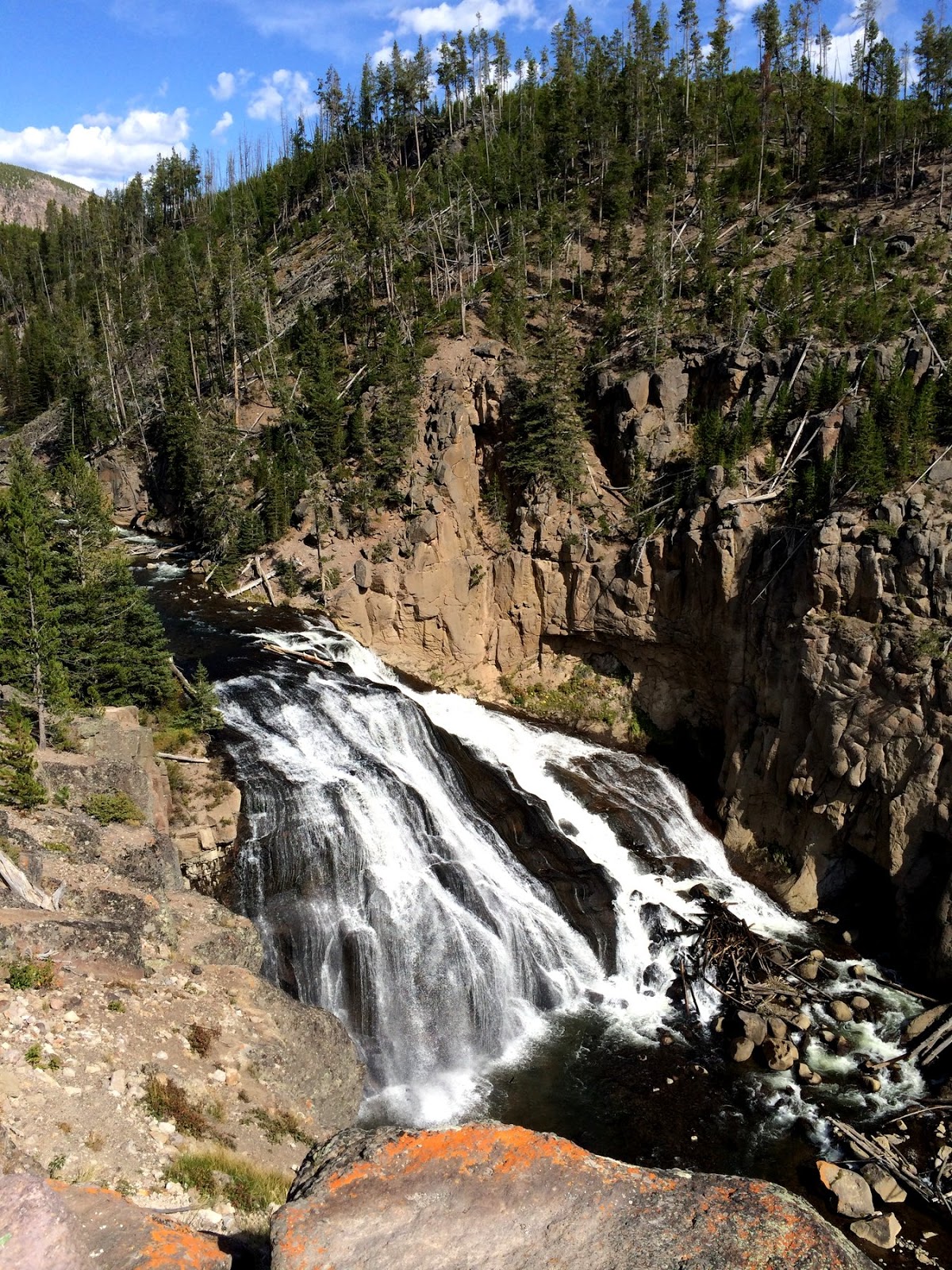
This was another fairly quick trip through the park - we dipped into the northwest corner along the Gallatin Valley, entered the park at the west entrance, explored the Firehole River and the Midway Geyser Basin, then headed for Cooke City at the northwest entrance via Canyon Village (we didn't even walk over to the falls this trip) and the Lamar Valley.
Previous Yellowstone Posts:
Yellowstone 2007
Yellowstone Lake 2012
Labels:
montana,
National Park,
roadtrip2014,
wyoming
Location:
Yellowstone National Park, United States
Subscribe to:
Posts (Atom)


