Showing posts with label montana. Show all posts

Sunday, August 27, 2017

Great Falls


Several years ago, I spent a wonderful early morning climbing the hill above the confluence of the Madison, Gallatin, and Jefferson Rivers near Three Forks, Montana (September 2014). Where the Missouri officially begins. A few hundred miles downstream, after picking a few more tributaries draining the eastern slope of the Rockies, the river reaches Great Falls. Geologically, this section of the river is very young, since the Missouri followed a distinctly different course prior to the last glaciation.


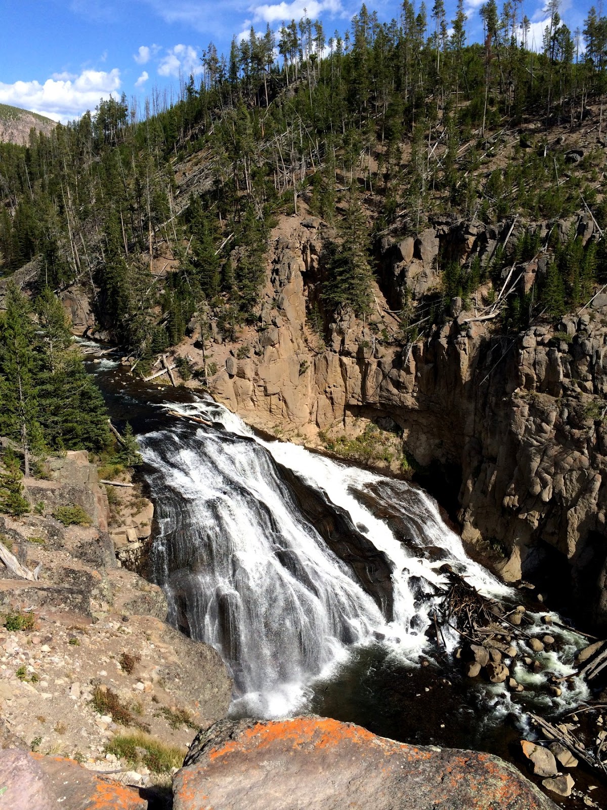
Great Falls gets its name from a series of five falls and intervening rapids that drop the Missouri over 600 feet in 10 miles. This was a significant landmark for native Americans, a major pain for Lewis and Clark making their way upstream in heavy boats in 1805, and a boon to early Great Falls, which was built on local hydropower.


As on so many rivers, great and small, the capturing of hydropower requires eliminating (or severely modifying) the waterfalls, so now their are five dams perched on each of the original falls and very little water is left to cascade over the rocks, since most is diverted to the power houses. This must have been incredibly impressive during spring runoff before the dams were built (much like the falls on the Snake near Twin Falls -- June 2012).

We were staying downtown - the renovated Hotel Arvon (with a great dinner at the completely unexpected Wine by Wednesday). Early Wednesday morning, I rode my bike down the river past Giant Springs on the trail, then revisited with M on the way out of town. Giant Springs is a huge natural spring on the banks of river - probably as significant a geologic feature as the falls themselves.


Saturday, August 26, 2017

Glacier Park


A forest fire burning above Lake McDonald made our trip over the Going to the Sun Highway a little eerie. Traffic and construction gave us more time to take it all out in. But we eventually made it to Logan Pass, where parking was sort of like Friday evening in Ballard. But fifteen minutes of hovering paid off - though we didn't spend much more time than that walking around the visitors center.

The smoke was drifting over the divide and down into the St. Mary Valley and seemed to be getting worse while we watched. We stopped for the requisite photos on the way down - and left some of the smoke behind. Since our last visit (September 2012), much of the north shore of St. Mary Lake has burned (in July 2015). And the pullout at the Wild Goose Island overlook has been expanded - which meant we had to wait for three loads of tourists to get back into their little red buses before we could get some photos without heads and hats in the way.


Thursday, August 24, 2017

Flathead Valley


One week on Salt Spring, then home for a day to catch our breath and to repack the car. And then we're off again - on a real road trip (Salt Spring is fun, but doesn't really meet my criteria for a road trip).

We stopped briefly at Snoqualmie Pass to watch the moon pass in front of the sun. Ate cheese and salami at Frenchman's Coulee. Stopped for coffee at The Vault in Couer d'Alene. And had dinner at the 44 Outlaw Grill in St. Ignatius. We drove north through Ronan as the sun set and drove around Flathead Lake as the light faded.


The Kalispell Grand Hotel was the first of three renovated downtown hotels we checked out on the way back to Madison (the Arvon Hotel in Great Falls and the Hotel Donaldson in Fargo will be the other two).


Tuesday morning I pulled the bike out of the car and rode a great loop up past Foy's Lake. I even pedaled up to Lone Pine State Park for its great views back of the valley. The ride back down into town was much faster than the one up.


Sunday, September 21, 2014

Pompey's Pillar


This is the first time we've driven this section of I-94 east of Billings (perhaps since I was a kid), despite the large number of trips we've done through this part of the world. Somehow, we've just wound up on other routes. So this was the first time we've visited Pompey's Pillar.
Pompey's Pillar is one of the many singular rock formations across the west that Lewis and Clark chose to scribble their names on - not that they were the first or the last to do so. In this case, Clark noted the aboriginal markings and then proceeded to sign his full name next to them (on July 25, 1806).  The Pillar is located along the Yellowstone River and is named after Sacajawea's son, who traveled with them.


The Pillar is significant in another way. According to Google Maps, it is 854 miles from our home in Seattle. And it is also 854 miles from Northfield MN.  So it precisely marks the halfway point between D's home and his school, at least if you follow the I-94 option.  A little more than 12 hours on each side -- if you drive like a madman.


Little Big Horn


There's not a whole lot of anything but grassland (and Billings) between Red Lodge and Belle Fourche, but US 212 through southeast Montana was uncharted territory, at least by us, so we took the road less traveled.

There were no shortage of battles between Native Americans and 19th Century U.S. soldiers. Some are better memorialized than others. Some were real battles, some were small fights and skirmishes, and some were brutal and lopsided massacres. Some mystery still remains about the details, but the bottom line is that Custer lost this one.  But it also represented one of the last, brief victories for the tribes and despite their success here, is as much reminder of that ultimate loss as that of the US Cavalry.

I think I'm just intrigued by the geography of historical events and the notion of standing in the same landscape, in the same footsteps, as these earlier people.


Beartooth Pass


The Beartooth Highway isn't exactly the most direct route between Seattle and Minnesota, but for some reason, we keep coming back. Maybe it's because it isn't the most direct route. But as much as anything, it's about being able to drive through a landscape not normally accessible to station wagons. The high plateau offers incredible vistas across both this range and the Absarokas, as well as down into the Clarks Fork and Rock Creek Valleys.

Beartooth Highway 2010

We woke in Red Lodge the next morning to cold drizzle and we understand the pass was closed later in the day for a little while due to snow.


Midway Geyser Basin


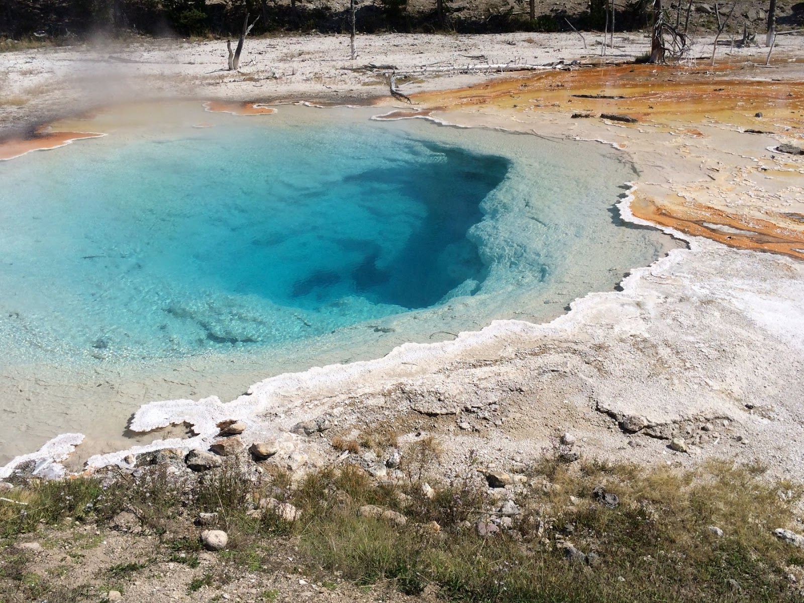
We didn't allow much time for Yellowstone on this trip - wanting to get over the Beartooths before dark - so no Old Faithful, no Yellowstone Falls, no Mammoth Hot Springs, and none of those beautiful gravel beaches on Yellowstone Lake (Yellowstone 2012). But we did detour south from Madison Junction to visit Midway Geyser Basin. We even found parking - sometimes a challenge here - and wandered the boardwalk loop.


Yellowstone


Yellowstone isn't about spectacular peaks and high passes - save that for Rocky Mountain or Glacier. It has both, but they're less accessible to most folks and are somewhat overshadowed by Yellowstone's better known sideshows - like waterfalls and geysers and large mammals. But it still has incredible high country scenery.

This was another fairly quick trip through the park - we dipped into the northwest corner along the Gallatin Valley, entered the park at the west entrance, explored the Firehole River and the Midway Geyser Basin, then headed for Cooke City at the northwest entrance via Canyon Village (we didn't even walk over to the falls this trip) and the Lamar Valley.


Previous Yellowstone Posts:
Yellowstone 2007
Yellowstone Lake 2012


Missouri Headwaters


No river begins in a single place - any more than any of us has a single ancestor.  The Missouri River begins on the sides of hundreds of mountains, in small springs, in rocky lakes - a map of which would define the river's enormous watershed. But the river named the Missouri begins in this one special place just north of Three Forks, Montana, where the Gallatin, Madison, and Jefferson Rivers come together.

From here it flows roughly 2300 miles to where it reaches the Mississippi just north of modern St. Louis. And from there it flows roughly 1200 miles to the Gulf of Mexico (finding river distances, or at least consistent ones, is more difficult than you might imagine). That means this spot is 3500 miles from the Gulf of Mexico.

There are only three other rivers in the world (The Nile, The Amazon, and the Yangtze) where you can stand on a riverbank farther from the ocean than this. And it's possible to follow the Jefferson River upstream from here another 300 miles to a small spring (Brower's) in the Centennial Mountains west of Yellowstone.

We stayed in Bozeman the previous night, but I drove back to the headwaters early the next morning and scrambled up to Lewis Rock (Lewis made observations from here when he and Clark visited on July 27, 1805).  This provided an incredible overlook of the confluence.

The three forks of the Missouri arrive here meandering across the broad alluvial valley to the south, but then squeeze together and exit through a narrow gap in these limestone cliffs that mark the northern edge of the basin.

I also posted from Three Forks a few years ago (Three Forks 2010).


..


Saturday, September 20, 2014

Camas Prairie


Had I written a tour guide for the first day and a half of our trip, it would have talked a lot about the repeated flushing of Lake Missoula down the Clark Fork Valley and out across the scablands of eastern Washington to the Columbia (a long time ago). We traveled U.S. 2 across Washington, across Moses Coulee and past Dry Falls. Last night we stayed in Thompson Falls atop an enormous gravel terrace that dates to the floods. And this morning I detoured up past Rainbow Lake (scoured and plucked by the floods) and back to the Clark Fork across Camas Prairie.

Camas Prairie is best appreciated early in the morning or late in the afternoon, since the low light and shadowing would accentuate the fields of giant ripples left when the plug was pulled on Lake Missoula and the water north of here flooded southward across this valley.  The ripples are hundreds of feet apart, indicating very deep, very fast water.

Unfortunately, we didn't get here until midday and the sun was too high in the sky, so this photo doesn't really do justice to the ripples. But with a little imagination, you can not only see the ripples on the broad valley floor, but you can also see the old lake shorelines on the hills in the background (you've got to look carefully on the expanded image).

My companions are willing and cooperative travelers, but aren't terribly interested in the geologic stories (they don't even believe them), they don't seem to appreciate geographic trivia the way I do, and I think they ignore most of my historical anecdotes. Maybe I should probably focus more on the distribution of cell towers in the American west and factors influencing the life of lithium batteries.