Sunday, July 06, 2014
Crescent City
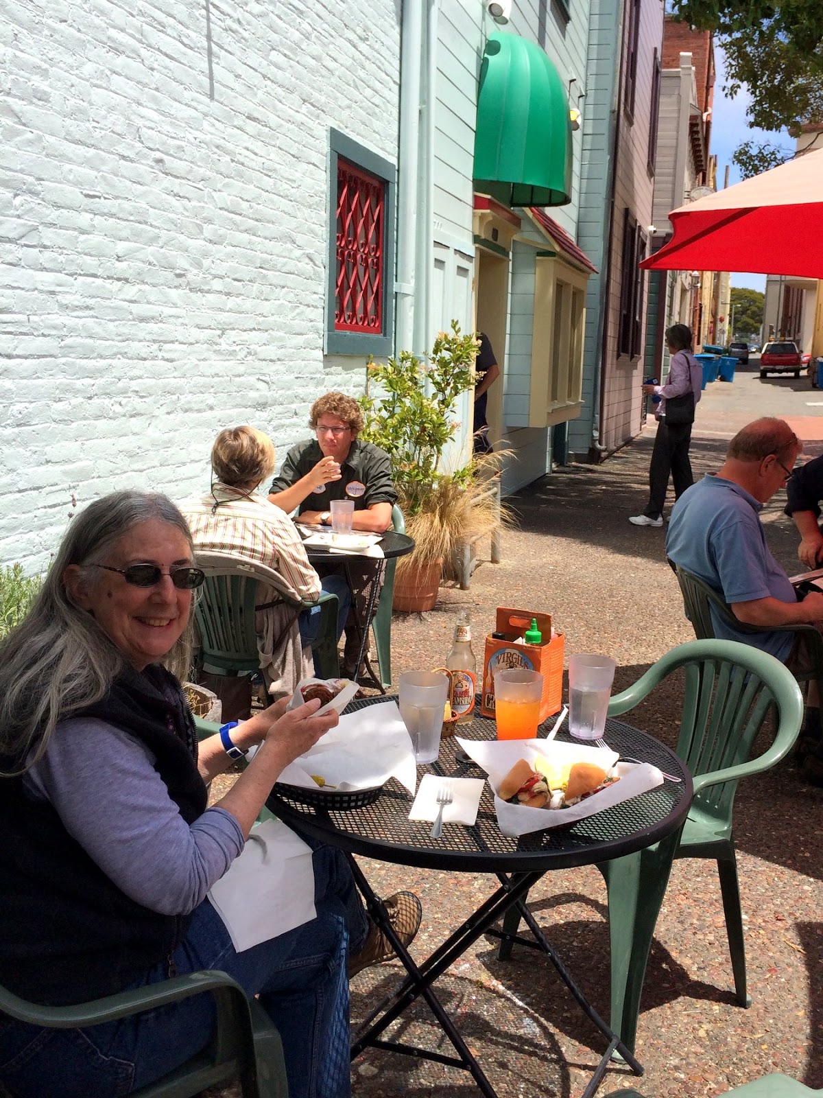
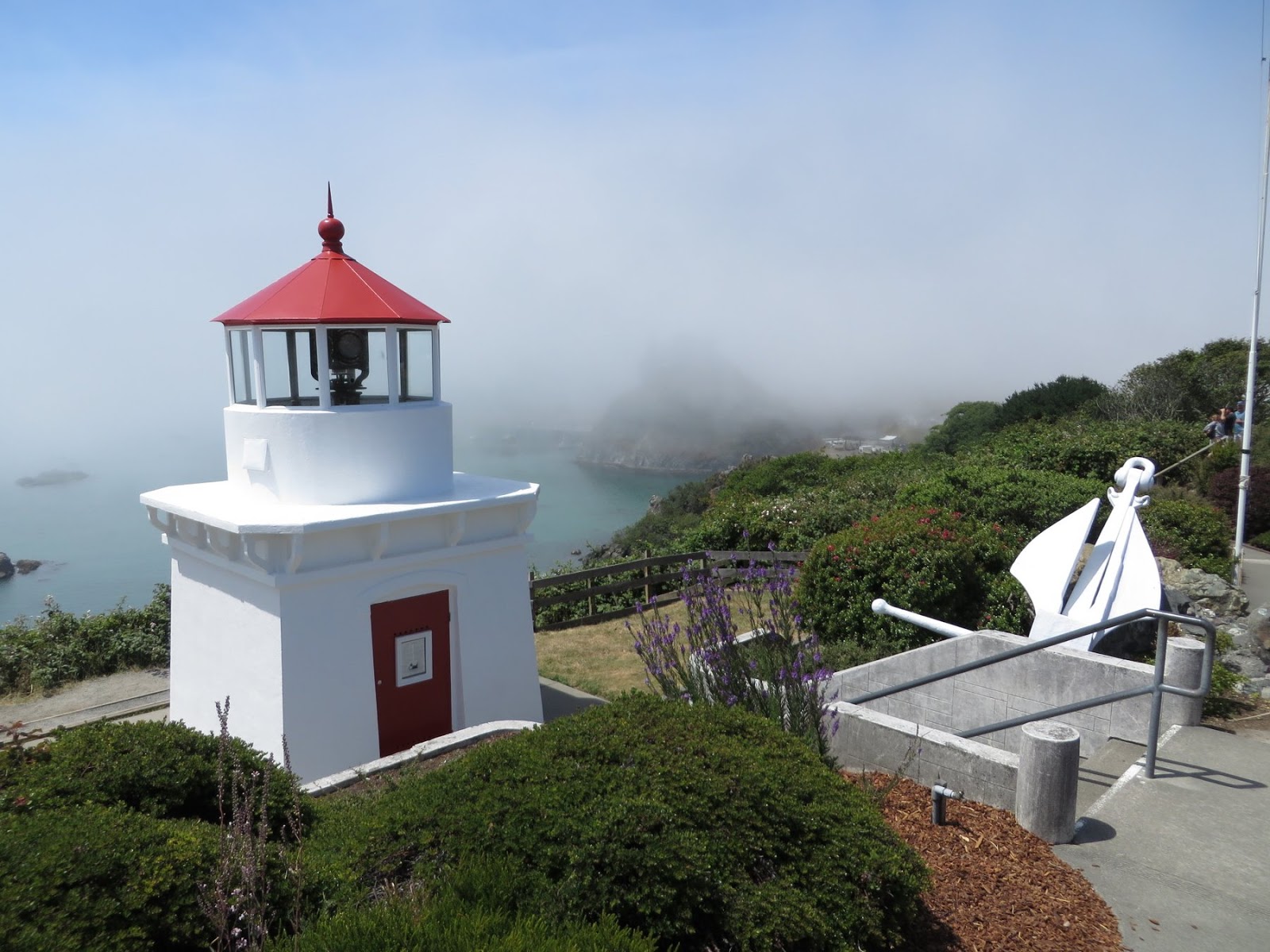
Having taken the leisurely tour getting down to the Bay Area, we took a pretty direct route back. We left Friday morning, headed back up 101 with a brief detour through the redwoods, and had a late dinner at Porcini (really good) in Crescent City (where we also stayed).
The next morning, we headed inland and picked up I-5 in Grants Pass. We were back in Seattle by 8:30 Saturday evening.
Labels:
california,
vacation,
westcoast2014
Location:
Crescent City, CA, USA
San Francisco
San Francisco was pretty much fogged in for most of our two day stay. We came in across the Golden Gate early evening on Wednesday and headed back across in similar conditions on Friday morning.
We did some homework on the drive into town and ended up at Burma Superstar on Clement for dinner. We had to wait for more than an hour, but it was well worth it. I still had room for ice cream at Toy Boat before we headed down to M's mom's place.
Thursday we visited with various folks on both sides of the family. I managed to get out to the beach (foggy) and also found Java Beach Cafe, which I wish I had discovered on previous trips.
We took M's mom to the Apple Store at Stonestown to check out options for replacing her ancient PC - and she and M spent the whole time playing with Photo Booth.
Labels:
california,
vacation,
westcoast2014
Location:
San Francisco, CA, USA
Gualala
On our last day driving from Fort Bragg down to San Francisco, we were in and out of fog the whole way. Which I guess is probably to be expected in June around here. Point Arena was pretty gray, but the sun and the Pacific were showing through a little farther south in Gualala. We had lunch at Cove Azul and by the time we were done, the fog had moved back onshore.

Labels:
california,
vacation,
westcoast2014
Location:
Sonoma County, CA, USA
Fort Bragg
Labels:
california,
vacation,
westcoast2014
Location:
Fort Bragg, CA 95437, USA
MacKerricher
Lunch in Eureka, then our winding ride through Petrolia and Honeydew, took awhile. I had hoped to check out Shelter Cove, but by the time we finally got to the main road, we realized it might be better to just keep going. We grabbed sandwich stuff for dinner at a grocery store, which M ate right away, but I waited until we until we got back to the coast to eat mine (Route 1 between Leggett and the coast is not one for eating and driving at the same time). We got to the coast right around sunset, which was great, and eventually pulled into our reserved spot at MacKerricher around 9 in the evening.
MacKerricher is just north of Fort Bragg and was our base for two nights. Our campsite turned out to be pretty close to the beach, which was nice, and we could listen to the surf in the distance at night (not that there was much surf during our visit).
Labels:
california,
vacation,
westcoast2014
Saturday, July 05, 2014
Cape Mendocino
We turned off 101 to go to Ferndale, then took the Mattole Road south and back out to the coast. I figured we'd spend the whole afternoon on very windy roads before getting back to the highway - which is exactly what happened. But what an incredible route!
 I had been afraid for weeks that this section would be fogged in, but we got lucky. On the other hand, just before we lost cell coverage, one of M's friends texted us about a possible 8.0 in the Aleutians. I had visions of the tsunami washing us off the road south of Cape Mendocino until I thought about it a little more and realized it was more likely to drown us in the campground later that night. As it turned out, a big wave never materialized.
Cape Mendocino was spectacular and we had it almost to ourselves - this road discourages tourist traffic. I spent a great 30 minutes wandering the beach at the mouth of the Mattole River (M seems to like the views and the opportunity to read more than walking on the beach while I take thousands of pictures). We stopped, as I suspect most tourists through here do, when we saw the zebras sharing pasture with the horses near Petrolia.
Labels:
california,
vacation,
westcoast2014
Location:
Humboldt County, CA, USA
Eureka

We've had a good routine this trip - breakfast and dinner at the campsite - but then fun lunches prepared by someone with more skill and imagination and ingredients. With some careful searching and filtering, the internet is a great way to find places you might otherwise miss. Our trips have become a nice blend of old-fashioned discovery and high-tech reconnaissance. Or is it the other way around?
 We had lunch at Cafe Nooner on Opera Alley in Eureka's Old Town, where I had an oyster Po' Boy and M had some sort of falafel-stuffed flatbread. Both were very good. We walked over to Living the Dream on the waterfront for ice cream. Normally, I eat the ice cream and M resists, but this time none of the flavors really did it for me and we swapped roles.
Labels:
california,
vacation,
westcoast2014
Location:
Eureka, CA, USA
Trinidad
We had off and on fog between Prairie Creek and Eureka, but there were enough glimpses of blue sky and the coast that I marked it off as a perfectly nice day. Patricks Point was socked in, but Trinidad offered some brief glimpses of the ocean.
Labels:
california,
vacation,
westcoast2014
Location:
Trinidad, CA 95570, USA
Redwoods
 We spent a little time in the Redwoods going each way. We camped at Prairie Creek on the trip south (Sunday) and then got off 101 and followed the Avenue of the Giants on the way north (Friday). These photos come from both visits.
 There is something pretty impressive about these trees and it's unfortunate there aren't more left. Trees may be a renewable resource when grown like crops, but old forests aren't renewable on any human timescale. We didn't spend much time exploring - never getting more then a couple of hundred feet from the road - and it would be nice to allow a little more time on a future trip.
It's funny that despite the emotional and spiritual power of these huge trees, the first thing I found myself expecting to see was Ewoks racing by on aerial jet scooters! (M reports that she had no such delusions).
Labels:
california,
vacation,
westcoast2014
Oregon Coast - south
 On Sunday, we stopped in Bandon, visited Cape Blanco (previous post), and had lunch at the Barnacle Bistro in Gold Beach. We stopped south of Cape Sebastian, where M read her book and I wandered among the dunes on the beach. We also stopped at Arch Rock, where M encountered what sounded from her reaction like it must have been a very large snake, but somehow all I saw was something slightly smaller slithering into the salal.
From there, it was on to California and the Redwoods.


Labels:
oregon,
vacation,
westcoast2014
Location:
Bandon, OR 97411, USA
Cape Blanco
Another cape. Another lighthouse. But this one we actually got to go to the top of. Cape Blanco is Oregon's westernmost point (not counting offshore rocks and islets), a point the docent emphasized. She suggested that the westernmost point in the continental U.S. might actually be in Washington (it is), but said it like it was a matter of opinion, not something one could just check on a map.

Did I mention, the weather has been fantastic!
Labels:
oregon,
vacation,
westcoast2014
Friday, July 04, 2014
Cape Arago


There are several state parks crowded along this coast west of Coos Bay. We stayed at Sunset Bay, but visited both Shore Acres (which includes an old estate and formal gardens, along with a spectacular setting) and Cape Arago. M relaxed up on top, watching for whales spouting and listening to sea lions, while I scrambled down to the beach for more photos and more exercise.
Labels:
oregon,
vacation,
westcoast2014
Location:
Coos Bay, OR, USA
Subscribe to:
Posts (Atom)


