Showing posts with label wyoming. Show all posts

Friday, July 10, 2015

Snowy Range


Another place we diverged from I-80 was west of Laramie, where we swung south through the Snowy Range before reconnecting with the Interstate farther west. I was here less than a year ago, the week before George died (Snowy Range: August 2014). I guess this was a way of coming back to visit.


The Snowy Range offers mountains, when Interstate 80 across Wyoming offers only high desert, so this will always be a welcome detour.


Sunday, September 21, 2014

Beartooth Pass


The Beartooth Highway isn't exactly the most direct route between Seattle and Minnesota, but for some reason, we keep coming back. Maybe it's because it isn't the most direct route. But as much as anything, it's about being able to drive through a landscape not normally accessible to station wagons. The high plateau offers incredible vistas across both this range and the Absarokas, as well as down into the Clarks Fork and Rock Creek Valleys.

Beartooth Highway 2010

We woke in Red Lodge the next morning to cold drizzle and we understand the pass was closed later in the day for a little while due to snow.


Midway Geyser Basin


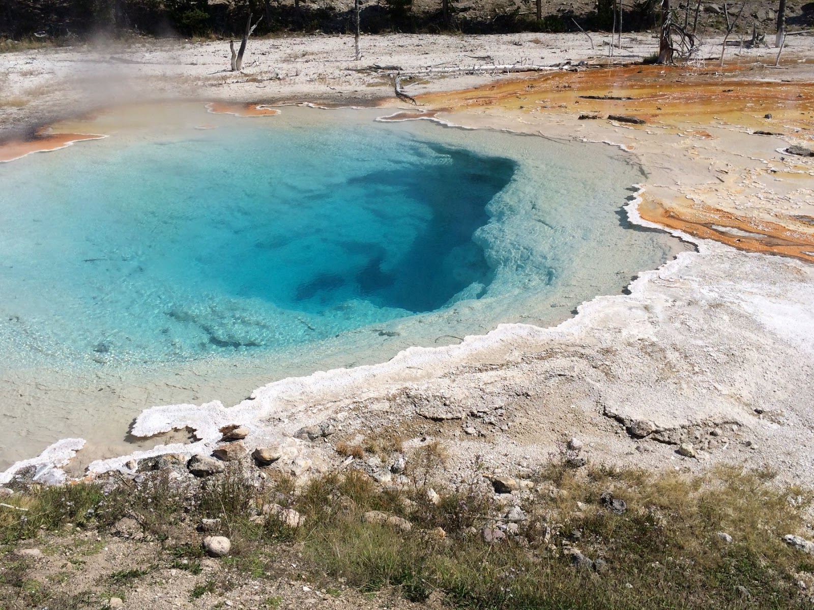
We didn't allow much time for Yellowstone on this trip - wanting to get over the Beartooths before dark - so no Old Faithful, no Yellowstone Falls, no Mammoth Hot Springs, and none of those beautiful gravel beaches on Yellowstone Lake (Yellowstone 2012). But we did detour south from Madison Junction to visit Midway Geyser Basin. We even found parking - sometimes a challenge here - and wandered the boardwalk loop.


Yellowstone


Yellowstone isn't about spectacular peaks and high passes - save that for Rocky Mountain or Glacier. It has both, but they're less accessible to most folks and are somewhat overshadowed by Yellowstone's better known sideshows - like waterfalls and geysers and large mammals. But it still has incredible high country scenery.

This was another fairly quick trip through the park - we dipped into the northwest corner along the Gallatin Valley, entered the park at the west entrance, explored the Firehole River and the Midway Geyser Basin, then headed for Cooke City at the northwest entrance via Canyon Village (we didn't even walk over to the falls this trip) and the Lamar Valley.


Previous Yellowstone Posts:
Yellowstone 2007
Yellowstone Lake 2012


Friday, August 08, 2014

Vedauwoo


The broken pink granite knobs of Vedauwoo lie less than half an hour east of Laramie on I-80. For most folks, they're just scenery along the interstate, or maybe a place to stop for a picnic.  For others, they're an iconic rock-climbing site. For me, Vedauwoo was a reminder of my first trip up here with George in 1978.
With little experience myself, I taught him some basic climbing stuff, including rappelling. It's amazing I didn't get us both killed.  Early Monday morning, I drove up to Vedauwoo. I scrambled up a ridge and found myself a perch on a very large boulder (there are plenty to choose from) and spent an hour sitting and thinking. I expected introspection but ended up in a jumble of emotions and thoughts. I need to work on the meditation thing.


This was my first exposure to this kind of eroded granite landscape, although I've since discovered the Alabama Hills and the Mojave, the City of Rocks in Idaho, and many others.


Snowy Range


George introduced me to the Snowy Range when I arrived in Laramie in July 1978. The crest is just an hour west of Laramie. We hiked and backpacked and I think (but can't recall for sure) that we climbed to the top of Medicine Bow Peak.

Early last Sunday morning, Bob and I drove up to Libby Flats.  It was hard to be up there without thinking about George, but I guess that was the whole point.


Sherman Hill


The original transcontinental railroad crossed the front range of the Rockies at Sherman Hill in the Laramie Range, between Cheyenne and Laramie. The precipitous front range of the Colorado Rockies sort of peters out north of the Wyoming border, so while this is the highest point on the cross-country route, it is a relatively easy way to cross the mountains.

The route is aided by geology, which besides keeping the mountains low, also provided a broad ramp on the east side (the "gangplank") which basically allows the prairies to gently rise all the way to the crest without having to follow (or cross) deep canyons or surmount (or tunnel under) a steep final pass.

I've been amused when I've heard folks on either coast talk of driving across the country and wanting to see the Rockies, then choosing to drive I-80. I-80, like the railroad it follows, chose the easy route, which means it intentionally bypasses the most spectacular parts of the mountains.

The summit is marked by the Ames Monument, a simple granite pyramid built to mimic the nearby granite knobs and to honor President Lincoln. The original railroad grade is just a grassy path that passes nearby, since the Union Pacific has relocated the route a little farther south.


Laramie


Laramie was a stopping-off place on many adventures between 1978 and 1983. George introduced me to Fred and Anne that first summer and I kept coming back.  Like the following December when Martha found us sleeping in the front yard during a layover on our bus ride back from the west coast. Or in 1980 when I rode my motorcycle up from Denver on weekends. Or in the winter of 1983, when my Schlumberger crew got stuck in Laramie due to bad weather for two days. In 1981, Steve and I came through and sometime later in the 1980s, Michele and I visited.

After college, George and I each moved on, crossing paths again in Seattle a few years later. But George was drawn back to Laramie and created a life for himself there.  And last weekend I came back, because George is sick and the prognosis is harsh.

Early every morning, I headed up into the hills for an hour or so. It seemed like the best way to remember that summer of 1978 when George and I explored every nook and cranny of Wyoming in the Slater's old blue Datson wagon. Saturday morning I drove up to the Ames Monument. On Sunday, Bob and I drove up to the Snowy's. On Monday morning I drove up to Vedauwoo.  Those posts will follow.


Thursday, September 19, 2013

Seattle


4100 miles in ten days, one of which only included the 50 miles between Northfield and Minneapolis.  I love these trips, but this one was a little too quick, without much time to explore along the way.  I preferred the last couple of September trips when M and I could take a little longer - maybe even spend a couple of days in one place or drive less than 400 miles in a day!

The map above my desk has all the trips of the last three years (since July 2010) inked out in Sharpie.  And D still has two more years in Northfield!  I guess there is still more white space to fill in.

The trips are all labelled in the blog:


I'm always a little burned out after each trip, but it only takes a few weeks and I'm already looking forward to the next one!

Wednesday, September 11, 2013

Union Pass


It wasn't until a few years ago that I even realized there was actually a road of any sort across the Continental Divide north of the Wind Rivers. But it's been calling to me ever since.

I had several route options for the third day of our trip, but this one was the most compelling. A slow start to the day almost ruled it out, but we got out of Jackson with gas and food by 1 pm and the weather was looking good, so I casually mentioned to M that there was a 50-mile gravel road I was sort of curious about. She handled it remarkably politely, although by the time we started up the rocky track on the west side and dodged a few cattle, she was probably wishing she'd protested more. But we all made it out just fine.

The dramatic peaks of the Wind River Mountains fizzle out north of Green River Lakes and the Union Pass road traverses a 8000-9000' rolling plateau of meadows and aspen before dropping down more sharply to Dubois on the northeast side.

Union Pass is very near a major triple divide, so in just a few miles, we passed through headwaters of the Colorado, Snake, and Missouri Rivers. We started by following the upper Green River, which flows south through Wyoming and Utah before joining the Colorado in Cataract Canyon, then flows through the Grand Canyon on its way to Mexico and the Gulf of California.

We then passed across small streams that feed the Gros Ventre, which flows down to meet the Snake River in Jackson Hole, then flows through much of Idaho to eventually join the Columbia River in Washington before reaching the Pacific at Astoria.

And the east side of Union Pass drains to the Wind River, which becomes the Bighorn River, which joins the Yellowstone, which meets up with the Missouri west of Williston and the Mississippi north of St. Louis, before flowing past New Orleans on its way to the Gulf of Mexico (unfortunately, none of my pictures were taken on that side).

Thursday, June 28, 2012

Rendezvous Mountain


The map of this trip is two zig-zag lines that occasionally come together briefly - in Northfield, in Gillette, in Yakima, in Seattle, and in Jackson, Wyoming - but never completely cross.  That means this time I already knew where to find the coffee shop in Jackson while D slept in.  It was another beautiful day.

Our first stop was Teton Village, where we rode the remodeled tram up to the top of Rendezvous Mountain.  Jackson Hole was probably the ski area I most dreamed of visiting (or working at?) back in the days when such things were still in the realm of possibility.  But I'd never been to the mountain - summer or winter - until this trip.


Yellowstone Lake


I'd dreamed for months of a chance to finally explore the beautiful spits on the lake (Gravel Beach 2007) - I had even thought about bringing my kayak or renting a boat.

The reality was that we came through Cody pretty late in the afternoon and there were few options for staying in the park.  So we drove right on through, while I stewed about the beautiful weather, the lack of crowds, and those elegant gravel barrier beaches.  I did get one spit stop right along the road.  D stayed in the car, but I spent 20 minutes with my camera and an empty beach.  I even skipped stones.

We had a nice, but very slow and very expensive dinner in Grant Village, and then drove past the Tetons silhouetted against a late evening sky.  Some day I'll come back and walk more of the beaches.