Showing posts with label idaho. Show all posts

Sunday, September 24, 2017

Boise


Boise was the last stop - or at least the last night - of our road trip. We've heard that Boise is a neat small city to explore, but this visit was pretty short. We checked into a nice, but generic, hotel out near the Interstate, and headed to Luciano's for dinner (which was good). We drove a little bit around downtown and Boise State.

The next morning, I drove back down to the river with my bike and rode up and downstream on the nice system of bike paths. Just like all the other early morning rides on this trip, it was an awfully pleasant way to get some exercise.

Downstream from Boise itself, Garden City seems to be positioning itself as a destination for recreation and entertainment along the river, although it looks much of that may still be in the future. The highlight on this early Sunday morning was the line up of guys with surf boards waiting to take their turn surfing the standing wave below the small dam! Only a couple that I saw were even able to get up - most washed out as soon as they tried to enter the treadmill.

From here, it's just a long 500-mile day from Seattle - we pulled up to the house around 5:30. This is the final post from "Road Trip 2017," unless I decide to pull together some sort of summary (25 blog posts, 21 days, 6200 miles, 10 bike rides, and so forth).

Shoshone Falls

Five years ago, I paddled up to the base of Shoshone Falls in a kayak (hshipman: June 2012). But I never got up to the viewpoint to see them from above. This trip offered the chance to do that and I thought M find them sort of neat, too. Flows were incredibly low, even lower than my earlier visit, and a trickle compared to full flood conditions.

Shoshone Falls is a little over 200' high - more than Niagara -- although even at high flow it can't really compare in volume. But in terms of some combination of height and volume, it must be among the largest in the American West.  Celilo Falls on the Columbia (now drowned behind the Dalles Dam) had huge flows, but was no where near as high. The Great Falls of the Missouri may have been impressive, but weren't of this scale. Willamette Falls near Portland and Kootenai Falls in Montana are larger in terms of average volume, but again, not as high. The kayaks below the falls provide some sense of scale.


Sunday, September 21, 2014

Coeur d'Alene


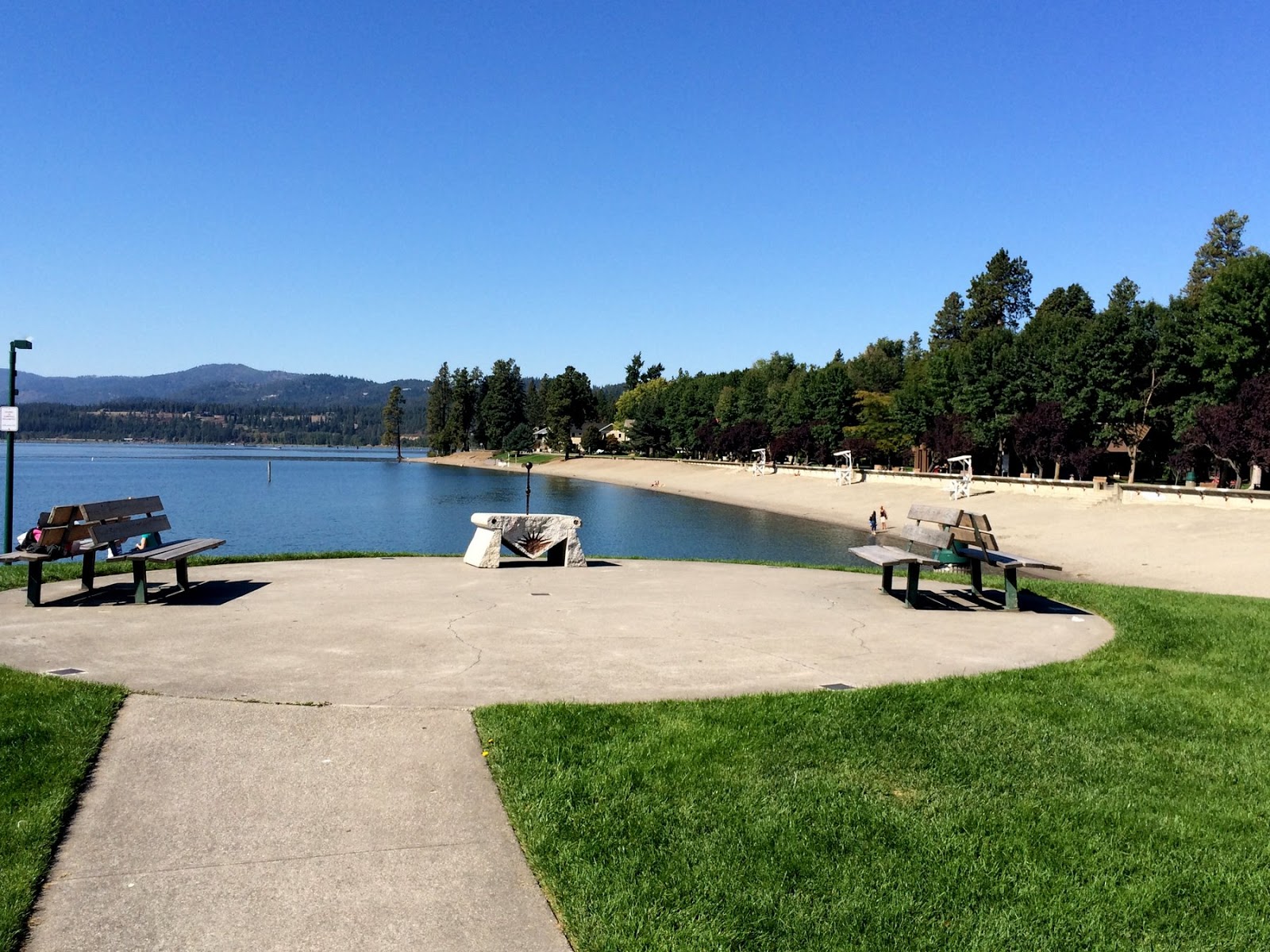
We stopped here going both ways - Saturday, the 6th, and Monday, the 15th.  The main motivation in both directions was coffee, although on the way out we ended up having the most amazing grilled cheese sandwiches for dinner (I can't recall if we ever got coffee). On the return trip, I picked up coffee at Calypsos (Java on Sherman has been our regular stop on previous trips but I wanted to try something new), before going down to the lake to check out the beach (the only beach of the trip, as far as I can remember).

We were home by dinner time.  Now I get to start planning the road trip back to Minnesota next June for graduation.


Thursday, September 19, 2013

Seattle


4100 miles in ten days, one of which only included the 50 miles between Northfield and Minneapolis.  I love these trips, but this one was a little too quick, without much time to explore along the way.  I preferred the last couple of September trips when M and I could take a little longer - maybe even spend a couple of days in one place or drive less than 400 miles in a day!

The map above my desk has all the trips of the last three years (since July 2010) inked out in Sharpie.  And D still has two more years in Northfield!  I guess there is still more white space to fill in.

The trips are all labelled in the blog:


I'm always a little burned out after each trip, but it only takes a few weeks and I'm already looking forward to the next one!

Thursday, June 28, 2012

Craters of the Moon


Another drive-by National Park.  I guess if I was on my own, I would stop at all of these places, but then I'd get in later at night (or maybe just have to get started before 10:30 in the morning).  We drove the loop, but I stopped only long enough to wander through a few exhibits and to take a few pictures.  Admittedly, I think we'd crossed that divide where getting home just seemed like the highest priority and we still had a long ways to go.

Saturday, June 23, 2012

Bear Lake


I enjoyed getting off the freeway in southern Idaho, since I've done the direct route from Seattle to SLC many times at many hours of the day.  But it was a reminder that the mountain ranges all go north and south and that to go east or west, you inevitably zigzag, whether you are a covered wagon or 21st century Subaru.


After City of Rocks, I drove north again, reconnecting with the Interstate system for a few tens of miles - getting on the freeway was thwarted for 15 minutes while a herd of cattle was shepherded across an overpass.  Red Rock Pass is where Lake Bonneville overflowed into the Snake River system during the waning ice age and it is where Great Salt Lake (the leftover part of Lake B) would flow out of the Great Basin if it rained really hard for a few hundred years.

Bear Lake straddles the Idaho - Utah border, just east of their mutual border with Wyoming.  It drains into the Great Salt Lake and therefore is within the Great Basin - its waters are destined to evaporate without ever reaching the ocean.


Friday, June 22, 2012

City of Rocks


I somehow found it surprising that before planning for this trip, I had never heard of this place.  I can understand why I hadn't been there - it's sort of off the main road - I just couldn't understand why I hadn't heard of it. It's a fantastic landscape of granite knobs, a mecca for rock climbers, and it also turns out, an important landmark along the California Trail.


Perrine Bridge


There are plenty of high places you can fling yourself from with a parachute strapped to your back - but in the U.S., apparently the only place you can do it legally is from the Perrine Bridge in Twin Falls.  And on Memorial Day, people were doing it all day long.  They walk in small groups to the middle of the bridge and then one at a time, they climb over the rail and jump, waiting a a second or two to deploy their chute.  And then they glide down to a grassy target 500' below on the left bank of the river.


Thinking about parachuting wasn't too hard (not that I considered it seriously), but I found it incredibly disconcerting standing 15' away watching someone simply climb over the rail of the bridge and ... jump.


After a long day in Twin Falls, I grabbed an ice cream and headed north and east twenty miles or so.  This spring I had read Jamie Ford's Hotel at the Corner of Bitter and Sweet, and besides leaving me wishing I knew the geography of Seattle's International District better, it left me curious to visit the internment center at Camp Minidoka.  It's pretty desolate country, save for the large irrigation canal that snakes past.  This must have been a shocking change for folks uprooted from Seattle - even if the circumstances weren't already so unsettling.  After the war, most of the site was sold off to private farmers, but it is a national historic site and there are interpretive signs and some relic structures.  There's also a monument to the Japanese at the camp who fought in the war -- it was a little sad to see no flags or flowers or special attention on Memorial Day, unlike all the other cemeteries and monuments I'd passed that weekend.


Shoshone Falls


All spring I explored the territory between Washington and Minnesota using a combination of Google Earth, Panoramio, Rand McNally, and AAA, along with John McPhee, Ian Frazier, Don Gayton, and others.  Somewhere along the way I discovered that despite many drives across southern Idaho, mainly on the Interstate, I hadn't seen much of the Snake River.  And in looking for non-driving options, I ran into the idea of kayaking to the base of Shoshone Falls.

I'd done enough homework to know that I might be able to rent a kayak at Centennial Park and that the paddle up to the falls was fairly simple, although it required portaging Pillar Falls.  For $20, I got a bright green boat for 4 hours, which was just enough to paddle four miles upstream and back again.


Paddling under the Perrine Bridge was spectacular, although it was a bit distracting with idiots jumping off it every few minutes, their chutes deploying with a loud sound somewhere between swoosh and a bang. See next post.  I found my way around Pillar Falls - easy because water levels were so low.  The falls isolate the upper reach from any boat not readily portaged - so it was me, two other kayak fishermen, and a family in a canoe. The power boats and the less determined kayakers stay below.

Shoshone Falls is surreal when it first appears in the distance.  I paddled below the canyon rim where Evel Knievel tried to jump his Skycycle X-2 in 1974 (the ramps are still there - although you can't see them from the river).  As you get to the falls, the water gets choppy and the breeze picks up.  These falls are higher than Niagara, so paddling this close is really neat.

My only regret was that there was relatively little water coming over the falls.  Most is diverted far upstream for irrigation, leaving a small fraction of the normal late spring runoff for the river itself.  A year ago this weekend, the flow was at near record levels -- imagine this place with water coming over everywhere!

Bruneau Dunes


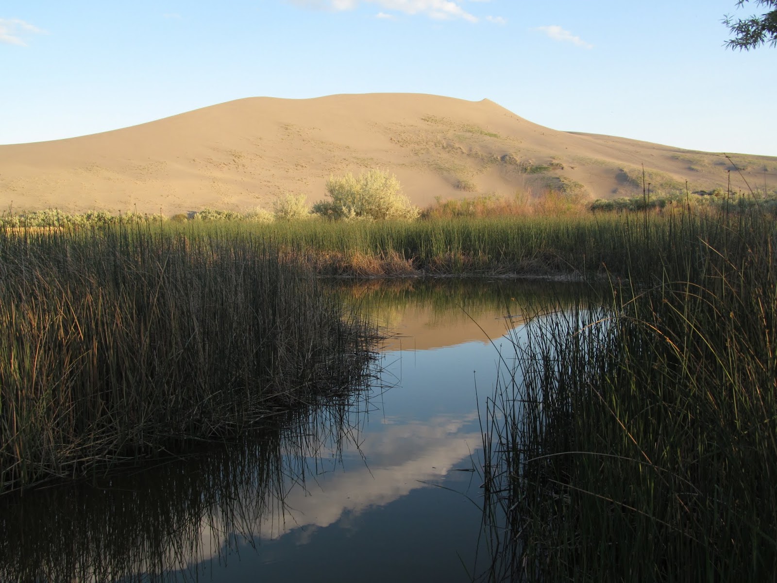
I got into Bruneau Dunes too late on Sunday to find a space in the regular campground, but the overflow turned out to be far quieter and more nicely situated.  I set up the tent and then headed for the dunes - I didn't quite have them to myself, but it was still pretty peaceful for a crowded weekend.

Silver City


On Saturday morning of Memorial Day weekend, I headed out, leaving M at home with two weeks of papers to grade.  I stopped to admire the big trees at Federation Forest - figuring I'd spend most of the next two weeks in high desert, sagebrush steppe, and prairie - places where trees were small and often missing.  I stopped at Chinook Pass to admire the snow drifts - the pass opened the day before.  And I stopped at the Nile landslide along the Naches River - the first of many geology-inspired stops.  The observatory at Goldendale was closed.  But Stonehenge in Marysville was open.

I stopped at the Crooked River Canyon and then drove out to Smith Rocks before grabbing dinner in Bend.  Then I headed 30 miles east, turned off on a series of dirt roads, and pitched the tent next to the car amongst the sage and the junipers.  Sunday morning I swung by Malheur Lake, but decided against Steens Mountain (too early, too much snow).  I turned left at Burns Junction, had lunch at The Pillars of Rome, and found a latte in Jordan Valley.


The road up to Silver City was the toughest driving of the trip, a good test of my new Subaru, and the source of most of the dirt that was still plastered to the car when I got back to Seattle. The red dust of Wyoming simply didn't stick.


There's still some modern-era silver mining near Silver City, but the old mining town itself is pretty much a historic backdrop for an ad for Jeeps and ATVs.  And on a nice Sunday afternoon, it was crowded.