Showing posts with label california. Show all posts
Monday, April 02, 2018
Santa Cruz
I'm not quite sure why it's taken more than five weeks to get to this. Priority. Distraction. Sloth. Forgetfulness.
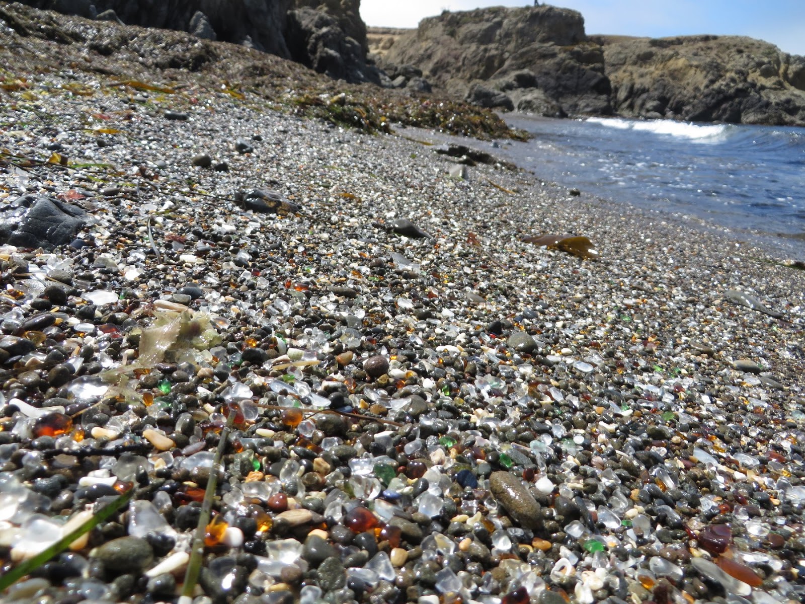
The workshop ended on Friday with a field trip to a couple of spots on the Richmond shoreline. I picked up a rental car at the airport and took on the Friday afternoon traffic over the hill from Silicon Valley to Santa Cruz. I checked out the beach, of course, somehow lost my sunglasses, and then went looking for dinner. Downtown was packed - plenty of food options, but no parking. And probably long waits to get in, too. So I found a sandwich at a neighborhood deli (The Buttery) and a bag of chips and a beer at the local grocery store and took it all back to the hotel.
Parking downtown was easier the next morning and I had a good cup of coffee at Verve before heading back to the beach. It was beautiful, clear, and just barely above freezing.
I know a little about soccer parents, and I know a lot about chess and ultimate parents, but I hadn't really thought much about surfer parents, but there they were, in their SUVs on the cliff edge, bundling up their kids as they climbed out of the ocean. There was some sort of junior surfing tournament going on.
From there, it was just one beach after another all day long, until I finally got back into San Francisco just before dinner. A walk down to Shark Fin Cove, a visit to the Pigeon Point lighthouse, mingling with the upper crust at the Ritz-Carlton south of Half Moon Bay, lunch above the riprap at Miramar Beach, and a tour from a colleague of the beaches in Pacifica.
Labels:
california
Location:
Santa Cruz, CA, USA
Saturday, July 11, 2015
San Francisco
The final check-in before completing our cross-country rally was San Francisco. We arrived Friday night and D and I drove back to Seattle on Sunday. We left M with her mom to set up a computer and touch bases with friends.
I spent a few hours Saturday driving around the city, checking out the shoreline at Crissy Field and Baker Beach, and waiting in very long lines of slow-moving traffic working my way past the bridge and through the Presidio. As usual, the farther west, the cooler and the foggier it was.
Labels:
california,
National Park,
roadtrip2015
Saturday, July 04, 2015
Lake Tahoe
I knew one of the few spots on this trip where I could collect beaches would be Lake Tahoe and I had planned for weeks to spend a long half day circling the lake. But as always happens, there's rarely enough time to all everything we plan and we never plan adequately for construction, traffic, missing key turns, and spending longer in some places than expected. As a result, I only managed to work my way along the Nevada side in the time I had, but that was perfectly okay.
I'd seen Tahoe before, and certainly was familiar with its scenic reputation, but I hadn't had a chance to really look. Between the mountains, the color of the lake, and the rounded granite boulders at the water's edge, it's easy to see why this place attracts folks. Of course, that attractiveness, along with other summer/winter recreation and Nevada's lax gambling regulations, is why the north and south ends of the lake are so built up and congested.
I visited Kings Beach, Sand Harbor, and Nevada Beach. I also got as far south as the Starbucks in South Lake Tahoe before turning around, climbing back over the ridge on Route 50, and heading down the long hill into the desert. I had dinner at Red's 395 Grill in Carson City and found a relatively cheap hotel room in Fallon.
Labels:
california,
nevada,
roadtrip2015
Location:
Lake Tahoe, United States
Keddie Wye
I must have ridden across this trestle on the California Zephyr back in 1963 on our first family trip west. It's located on the old Western Pacific (now Union Pacific) at the top end of the Feather River Canyon.
Like many classic railroad viewing spots, it's not a terribly safe place to watch trains. The road turns sharply around a blind curve, although at least there's a guard rail to separate pedestrians from log trucks and RVs. And the classic camera shots are on a scree slope that drops over the roof of the train tunnel. I waited a little hoping to catch a train, but with no luck.
The northern branch of the wye is the "Inside Gateway" route to northern California, although I thought there was some confusion on railroad history sites about its importance. But regardless, it's a cool spot for those of us who love railroads and trestles.
Labels:
california,
roadtrip2015
Lassen Peak
I had eight days to get from Seattle to the Minneapolis airport to pick up M and I spent the first day and the first 629 miles heading south. The rationale should emerge over subsequent posts. This was certainly the longest day of the trip east.
I never actually saw the top of Lassen Peak, so the title is a little of a misrepresentation, but I got glimpses of its base and the weather away from the peak was very nice.
I got into Cave Campground in Lassen National Forest, just north of the National Park, around 8 PM and paid my $16 fee with a $20 bill. I woke very early, packed my wet tent (it poured for an hour or so during the night), then drove into the Park. I had the Park pretty much to myself - I saw only a couple of cars during the drive through. I had thought that if it was perfectly clear I might try the hike to the top - apparently snow levels this year make that reasonable - but it wasn't perfectly clear and I settled for a short stop at the trailhead parking lot.
Until 1980, Lassen held title to the largest historical eruption in the Cascades, exploding spectacularly on May 22nd, 1915 (almost exactly 100 years ago). Much of the landscape is still recovering a century later and there are still plenty of signs of magmatic heat stewing below the surface.
Lassen is the southern most of the active Cascades, not coincidentally lying pretty much due east of Cape Mendocino and the southern end of the Cascadia Subduction Zone.
This is the first of roughly two dozen posts from this year's June road trip - I'm hoping to crank the others out over the next week or so.
Labels:
california,
National Park,
roadtrip2015
Sunday, July 06, 2014
Crescent City
Having taken the leisurely tour getting down to the Bay Area, we took a pretty direct route back. We left Friday morning, headed back up 101 with a brief detour through the redwoods, and had a late dinner at Porcini (really good) in Crescent City (where we also stayed).
The next morning, we headed inland and picked up I-5 in Grants Pass. We were back in Seattle by 8:30 Saturday evening.
Labels:
california,
vacation,
westcoast2014
Location:
Crescent City, CA, USA
San Francisco
San Francisco was pretty much fogged in for most of our two day stay. We came in across the Golden Gate early evening on Wednesday and headed back across in similar conditions on Friday morning.
We did some homework on the drive into town and ended up at Burma Superstar on Clement for dinner. We had to wait for more than an hour, but it was well worth it. I still had room for ice cream at Toy Boat before we headed down to M's mom's place.
Thursday we visited with various folks on both sides of the family. I managed to get out to the beach (foggy) and also found Java Beach Cafe, which I wish I had discovered on previous trips.
We took M's mom to the Apple Store at Stonestown to check out options for replacing her ancient PC - and she and M spent the whole time playing with Photo Booth.
Labels:
california,
vacation,
westcoast2014
Location:
San Francisco, CA, USA
Gualala
On our last day driving from Fort Bragg down to San Francisco, we were in and out of fog the whole way. Which I guess is probably to be expected in June around here. Point Arena was pretty gray, but the sun and the Pacific were showing through a little farther south in Gualala. We had lunch at Cove Azul and by the time we were done, the fog had moved back onshore.
Labels:
california,
vacation,
westcoast2014
Location:
Sonoma County, CA, USA
Fort Bragg
Labels:
california,
vacation,
westcoast2014
Location:
Fort Bragg, CA 95437, USA
MacKerricher
Lunch in Eureka, then our winding ride through Petrolia and Honeydew, took awhile. I had hoped to check out Shelter Cove, but by the time we finally got to the main road, we realized it might be better to just keep going. We grabbed sandwich stuff for dinner at a grocery store, which M ate right away, but I waited until we until we got back to the coast to eat mine (Route 1 between Leggett and the coast is not one for eating and driving at the same time). We got to the coast right around sunset, which was great, and eventually pulled into our reserved spot at MacKerricher around 9 in the evening.
MacKerricher is just north of Fort Bragg and was our base for two nights. Our campsite turned out to be pretty close to the beach, which was nice, and we could listen to the surf in the distance at night (not that there was much surf during our visit).
Labels:
california,
vacation,
westcoast2014
Saturday, July 05, 2014
Cape Mendocino
We turned off 101 to go to Ferndale, then took the Mattole Road south and back out to the coast. I figured we'd spend the whole afternoon on very windy roads before getting back to the highway - which is exactly what happened. But what an incredible route!
Cape Mendocino was spectacular and we had it almost to ourselves - this road discourages tourist traffic. I spent a great 30 minutes wandering the beach at the mouth of the Mattole River (M seems to like the views and the opportunity to read more than walking on the beach while I take thousands of pictures). We stopped, as I suspect most tourists through here do, when we saw the zebras sharing pasture with the horses near Petrolia.
Labels:
california,
vacation,
westcoast2014
Location:
Humboldt County, CA, USA
Subscribe to:
Posts (Atom)