Wednesday, January 17, 2018
Beacon Hill
The Chief Sealth Trail winds through the rolling right of way below the big high tension lines that come into Seattle across Beacon Hill. It's a great urban hike, with views both back toward Mount Rainier and north towards downtown and Elliott Bay.
We took the light rail to Othello Street and walked a few blocks west to the trail. We followed the trail north to 15th Avenue South (in the vicinity of the big VA hospital), then through the neighborhoods and up to Jefferson Park, where everyone was out enjoying the nice weather. From there, it was a short walk to the Beacon Hill Link Station, and a fairly quick trip home.
Labels:
seattle,
washington
520 Bridge
The new bike trail was finished just before Christmas and last Sunday - a typical sunny, 60-degree January day in Seattle - plenty of folks were out walking and riding. The trail is wider than the one on I-90 and even has little punchouts for views and rest stops. I suspect that not only will the new trail get plenty of use, it will increase pressure on other bike routes around the lake since opportunities for extended rides are much expanded.
Most of my riding since Christmas has been indoors (albeit in a virtual version of London and an even more virtual place called Watopia), but this was a great day to get outside for a 30-mile loop through Redmond and Kirkland.
Labels:
bike,
seattle,
washington
Sunday, January 07, 2018
Green Lake
Seattle only gets snow rarely, and when it does, it often occurs right around freezing and either falls through warm air onto warm ground, or it turns to rain before amounting to very much. But this year, it had been cold (by Seattle standards) for a few days and then it began snowing late afternoon on Christmas Eve. We didn't get a lot, but at least it stuck and didn't just turn to slush when it hit sidewalks. It flurried off and on into the next morning and provided a rare white Christmas. It varied from spot to spot, but I guess we had 2-3" in our neighborhood.
We walked down to the lake and back through Woodland Park, swung by my usual coffee shop, and then headed home and packed up gifts to take to Mom's.
Seattle saw the introduction of wide spread bike sharing this year - and the colorful bikes are scattered everywhere. Nice in the summer, sort of ragged in the wind and rain, and a little surreal after the holiday snow flurry.
Labels:
seattle,
washington
Saturday, January 06, 2018
Seattle Center
Since we were Seattle tourists, we felt we should check out Seattle Center. We took the monorail, of course, which is a little dated now but still a cool way to get from downtown to Seattle Center. The 55-year old glimpse of the future provides a nice view of all the new construction going on north of downtown. There are construction cranes everywhere. But no more monorails than there were in 1962!
We decided against the Space Needle - too expensive, too crowded, and too much remodeling going on. I guess we should come back in a year or two and check out the finished product - complete with a glass floor, I understand. We will also need to come back some time and go to the Museum of Pop Culture (the "old' Experience Music Project) - another museum largely associated with a single individual - although in this case, a patron, not an artist.
I still remember the amusement arcade that sat here beneath the Space Needle, complete with its mini-golf course. Remember the elephant with the martini glass? Or am I imagining that?
Labels:
seattle,
washington
Pike Place Market
We rolled our suitcases to the stop for the 26 and used our Orca cards. We stayed at the Alexis. We ate two dinners (Heartwood Provisions and NiJo) and one breakfast (Bookstore Cafe) within a block of the hotel. We ate our second breakfast at Red Cedar and Sage and were reminded just how many little nooks and crannies there are in the multiple floors that comprise the Pike Place Market.
The Market was busy and colorful on Saturday morning. The weather was chilly, but beautiful, and the views back at downtown and out over the water were great.
Labels:
seattle,
washington
Location:
Seattle, WA, USA
Wednesday, November 22, 2017
Jerimoth Hill
Rhode Island's highest point is not a terribly difficult climb. The route finding is easy, the distance is minimal, and the elevation gain unremarkable. The view from the summit is ... blocked by the trees.
Jerimoth Hill, all 812' of it, is in western Rhode Island, not far from the Connecticut state line. State Route 101 crosses the hill near the summit, so the final leg is an almost level trail not more than a few hundred yards long. The summit is marked by steel ammo canister - I didn't add my name. Nearby are some storage sheds and what I assumed were telescope mounts - Brown maintains the site as a potential observatory.
Until recently, this was one of the more difficult high points to reach, as the the owners of the adjacent land weren't keen on visitors, but now the summit is marked on the highway and the trail is open to all. There are residences nearby, visible through the woods.
For other state high points, some perhaps more familiar, or at least a bit more dramatic, check out hshipman: highpoint.
Labels:
highpoint,
rhode island
Location:
214 Hartford Pike, Foster, RI 02825, USA
Westerly
The south shore of Rhode Island was really cold. On Friday, there were gale force winds from the north, making the low 30s feel a lot colder. On Saturday morning, the winds had dropped, but so had the temperatures. The thermometer in my rented Camry said low 20s. So much for iPhone battery life!
I've wanted to see Napatree ever since I read R.A. Scotti's account of the 1938 hurricane in Sudden Sea. The storm pretty much washed away everything on the spit, along with much of the spit itself (I may post more on the other blog).
I settled for coffee at Junk & Java, which was clearly where everyone else in western Rhode Island was settling for coffee that morning, too.
Labels:
rhode island
Location:
16 Bluff Ave, Westerly, RI 02891, USA
Conanicut Island
My first stop on Friday morning -- after coffee (and a doughnut?) at the hotel, a bus ride to the airport, and picking up my rental car -- was Beavertail Point at the southern tip of Conanicut Island, at the entrance to Narragansett Bay. It's a very old lighthouse (and the site of even older ones) on a rocky point extended out into the Atlantic.
I drove out to Fort Getty, but really didn't explore -- I had an ambitious schedule for the day. And checked out the shore in Jamestown, the largest town on the island, which faces east across the bay towards the bridge and Newport.
And then it was off to Narragansett and a series of beaches farther east. It was chilly. I may come back to that.
Labels:
rhode island
College Hill
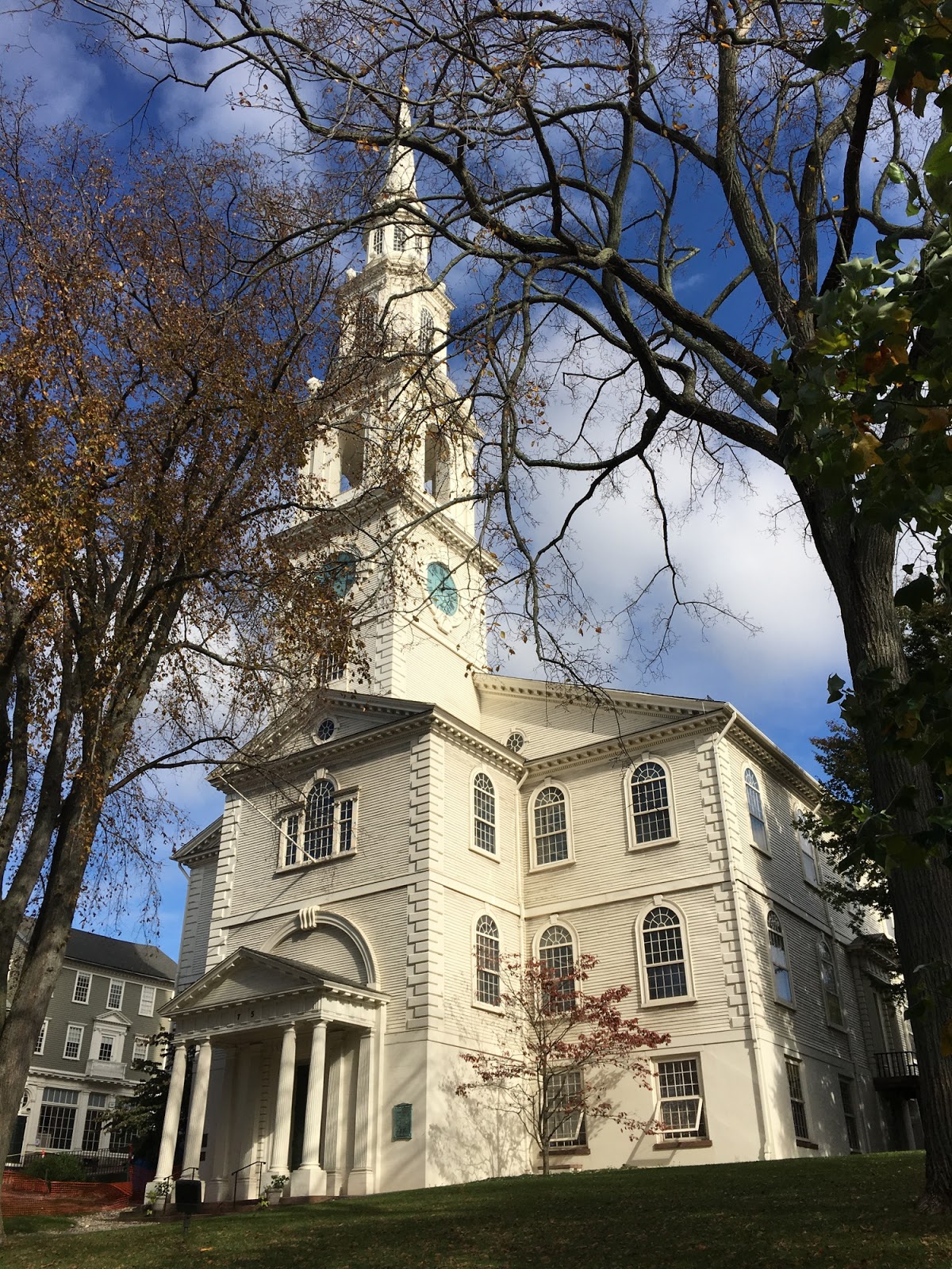
College Hill is just east of downtown Providence, on the other side of the river. It's a pleasant walk from the convention center and I got there both early one morning and for lunch on another day. It's a historic neighborhood, with very nice old homes, old churches, and the very different campuses of Brown University (traditional New England quads) and the Rhode Island School of Design (more urban, street facing).
My morning walk provided a strong sense of deja vu, since I'd done a very similar walk on a very similar day during my very similar visit nine years ago. But not everything was the same. This time I checked out the RISD Museum Store (I didn't have time for the Museum itself) and their bookstore (lots of art supplies, no surprise).
This trip I ran across a very large blue teddy bear with a desk lamp on its head on the Brown Campus - definitely not there in 2008. I also found Dave's Coffee on South Main Street, which I did not recall from my previous trip. I found another Dave's Coffee a few days later off Post Road (US 1) west of Charlestown.
Labels:
rhode island
Subscribe to:
Posts (Atom)