Friday, June 22, 2012

Perrine Bridge


There are plenty of high places you can fling yourself from with a parachute strapped to your back - but in the U.S., apparently the only place you can do it legally is from the Perrine Bridge in Twin Falls.  And on Memorial Day, people were doing it all day long.  They walk in small groups to the middle of the bridge and then one at a time, they climb over the rail and jump, waiting a a second or two to deploy their chute.  And then they glide down to a grassy target 500' below on the left bank of the river.


Thinking about parachuting wasn't too hard (not that I considered it seriously), but I found it incredibly disconcerting standing 15' away watching someone simply climb over the rail of the bridge and ... jump.


After a long day in Twin Falls, I grabbed an ice cream and headed north and east twenty miles or so.  This spring I had read Jamie Ford's Hotel at the Corner of Bitter and Sweet, and besides leaving me wishing I knew the geography of Seattle's International District better, it left me curious to visit the internment center at Camp Minidoka.  It's pretty desolate country, save for the large irrigation canal that snakes past.  This must have been a shocking change for folks uprooted from Seattle - even if the circumstances weren't already so unsettling.  After the war, most of the site was sold off to private farmers, but it is a national historic site and there are interpretive signs and some relic structures.  There's also a monument to the Japanese at the camp who fought in the war -- it was a little sad to see no flags or flowers or special attention on Memorial Day, unlike all the other cemeteries and monuments I'd passed that weekend.


Shoshone Falls


All spring I explored the territory between Washington and Minnesota using a combination of Google Earth, Panoramio, Rand McNally, and AAA, along with John McPhee, Ian Frazier, Don Gayton, and others.  Somewhere along the way I discovered that despite many drives across southern Idaho, mainly on the Interstate, I hadn't seen much of the Snake River.  And in looking for non-driving options, I ran into the idea of kayaking to the base of Shoshone Falls.

I'd done enough homework to know that I might be able to rent a kayak at Centennial Park and that the paddle up to the falls was fairly simple, although it required portaging Pillar Falls.  For $20, I got a bright green boat for 4 hours, which was just enough to paddle four miles upstream and back again.


Paddling under the Perrine Bridge was spectacular, although it was a bit distracting with idiots jumping off it every few minutes, their chutes deploying with a loud sound somewhere between swoosh and a bang. See next post.  I found my way around Pillar Falls - easy because water levels were so low.  The falls isolate the upper reach from any boat not readily portaged - so it was me, two other kayak fishermen, and a family in a canoe. The power boats and the less determined kayakers stay below.

Shoshone Falls is surreal when it first appears in the distance.  I paddled below the canyon rim where Evel Knievel tried to jump his Skycycle X-2 in 1974 (the ramps are still there - although you can't see them from the river).  As you get to the falls, the water gets choppy and the breeze picks up.  These falls are higher than Niagara, so paddling this close is really neat.

My only regret was that there was relatively little water coming over the falls.  Most is diverted far upstream for irrigation, leaving a small fraction of the normal late spring runoff for the river itself.  A year ago this weekend, the flow was at near record levels -- imagine this place with water coming over everywhere!

Bruneau Dunes


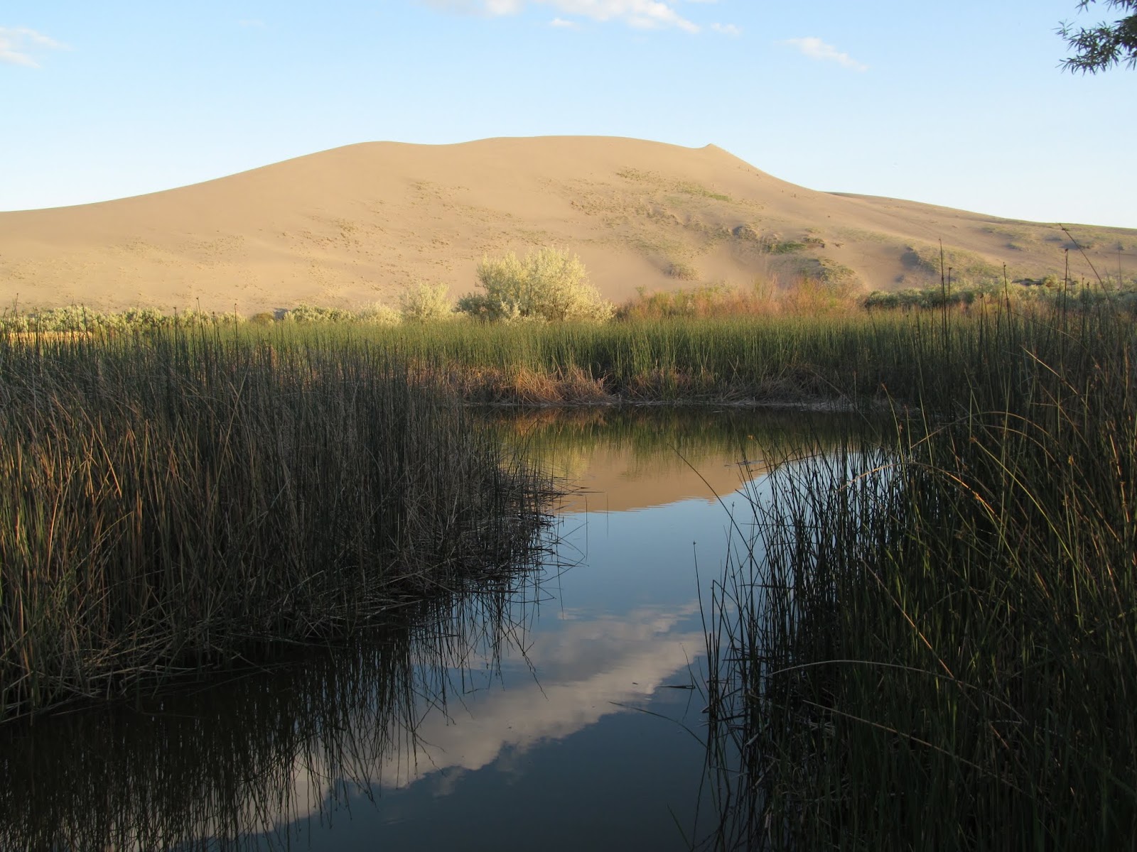
I got into Bruneau Dunes too late on Sunday to find a space in the regular campground, but the overflow turned out to be far quieter and more nicely situated.  I set up the tent and then headed for the dunes - I didn't quite have them to myself, but it was still pretty peaceful for a crowded weekend.

Silver City


On Saturday morning of Memorial Day weekend, I headed out, leaving M at home with two weeks of papers to grade.  I stopped to admire the big trees at Federation Forest - figuring I'd spend most of the next two weeks in high desert, sagebrush steppe, and prairie - places where trees were small and often missing.  I stopped at Chinook Pass to admire the snow drifts - the pass opened the day before.  And I stopped at the Nile landslide along the Naches River - the first of many geology-inspired stops.  The observatory at Goldendale was closed.  But Stonehenge in Marysville was open.

I stopped at the Crooked River Canyon and then drove out to Smith Rocks before grabbing dinner in Bend.  Then I headed 30 miles east, turned off on a series of dirt roads, and pitched the tent next to the car amongst the sage and the junipers.  Sunday morning I swung by Malheur Lake, but decided against Steens Mountain (too early, too much snow).  I turned left at Burns Junction, had lunch at The Pillars of Rome, and found a latte in Jordan Valley.


The road up to Silver City was the toughest driving of the trip, a good test of my new Subaru, and the source of most of the dirt that was still plastered to the car when I got back to Seattle. The red dust of Wyoming simply didn't stick.


There's still some modern-era silver mining near Silver City, but the old mining town itself is pretty much a historic backdrop for an ad for Jeeps and ATVs.  And on a nice Sunday afternoon, it was crowded.


Sunday, May 13, 2012

Skagit Bay


One reason for me getting the boat a couple of years ago was the desire to get to some places I couldn't get to otherwise.  Yesterday, I drove up to Whidbey and paddled across to Hope Island - one of those many Washington State Parks that you can only get to by boat.  The crossing was short enough and the conditions good enough so I felt comfortable making the trip.

The weather was perfect - almost too bad that the cold water requires me to be dressed much warmer than I would prefer.  Mount Baker was crystal clear.  There was a constant stream of boats heading out towards, or back from, Deception Pass.  And by the time I got back to Ala Spit, folks with coolers and umbrellas were beginning to show up to enjoy the warm day and the low tide.

As usual, more pictures over at Gravel Beach.


Saturday, May 05, 2012

Cama Beach


I headed back up to Cama Beach this morning to check on the landslide - and the scones.

The trip from Seattle is about 65 miles and takes about an hour and twenty minutes - which on my road trip spectrum is somewhere between an impulse and a whim.  My Seattle latte (Diva) was still warm when I pulled into the Park and hung the Discover Pass on my windshield.  I spent an hour or two on the beach and another hour chatting - seems like visits to Cama are becoming almost as much social as they are geologic or recreational.  But maybe that's part of the appeal.

Sunday, April 29, 2012

Kilisut Harbor


Saturday morning I loaded up the boat, grabbed coffee, and headed for the Edmonds ferry.  Over the next few hours the almost-clear skies gradually disappeared - just the opposite of the forecaster's pronouncements.

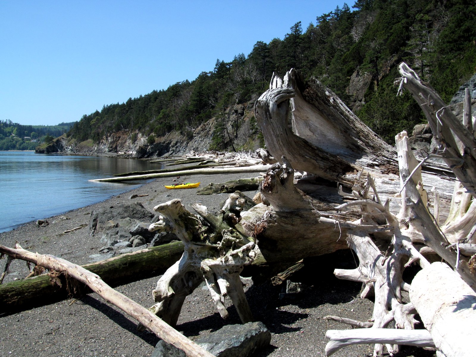
I took the kayak up to Fort Flagler and spent several hours paddling around northern Kilisut Harbor - the narrow inlet between Marrowstone and Indian Islands. I went south, taking a break at Mystery Bay, before crossing over and heading back north along the wonderfully undeveloped shoreline of Indian Island.  One advantage of the Navy storing bombs there is that security is tight and opportunities for waterfront real estate and mega-mansions are nil.  I kept expecting guards to drive down to the beach to make sure I didn't land, but if they were watching, they didn't show themselves.  A lone coyote watched me from the top of a bluff for five minutes as I paddled by.  A seal popped up at some point and bald eagles occasionally flew over - but that was it.

Seattle


A small line of planes, two Beavers and an Otter, motored all the way to the north end of Lake Union before turning and one at a time taking off back over the south end of the Lake. I was in the Otter, on the way to Friday Harbor.

Coincidentally, J was in one of the Beavers, heading for Roche Harbor.  A circumstance that neither of us could have imagined 40 years ago growing up in Maine!

Between the overcast and an inadequate camera for aerial photography, I took a remarkable number of fuzzy photos of every spit, landslide, and island we passed over.  Some of my best shots were taken in the first minute of the flight as we climbed over Seattle Center and headed out over Elliott Bay.

Sunday, April 22, 2012

Mount Vernon


This was the first time in a long time that M & I could get away together and we decided to head up to the Skagit to see the Tulips. My ideal tulip trip would be to run into them unexpected in the middle of nowhere with no one else around and this morning in Seattle, I had visions of gridlocked farm roads, overpriced parking, tour buses, crowds of gawkers, and low-flying helicopters. I guess all of those things were there, but somehow we managed to avoid most of it, and I came away reminded that just because something is overhyped and commercialized, it can still be a lot of fun!

The weather was great.  The timing was perfect, with most of the fields in full bloom.  The photography was both helped and hindered by the slight haze, and the photos themselves suggest that my camera does some weird stuff with bright, contrasty colors.

We ended up at Seeds in La Conner for lunch - which was good, but took about 40 minutes longer to arrive than it should have.  Blame it on the crowds.

Saturday, April 21, 2012

Tacoma


What is this - the third nice weekend in a row?  No whining!  Looking for something different than last Saturday's expedition to Dungeness, I found a counterpoint on the Foss Waterway.  Today it was by boat, and I was back by noon.  And yes, the shoreline was a bit more urban.

Like Lake Union (Seattle) and False Creek (Vancouver), the Foss has gradually gone from industrial to mixed.  "Mixed" meaning vestiges of the past, gradually overtaken by museums, condos, marinas, and public promenades.

Sunday, April 15, 2012

Dungeness Spit


The long walk out to the lighthouse has been on my list for decades - even before I started working on beaches professionally and long before I started collecting beaches as a hobby.  I've been to down the base of the spit numerous times, with and without family, and once I even walked out half a mile or so at high tide to watch storm waves spill over the top.

Saturday, I headed over to the Peninsula early, stopped at Port Williams to explore another beach and to wait for the tide to fall a little farther.  I began hiking around 11:30, spent an hour or so out at the lighthouse, and got back to the car around 4:30.  I walked four of the five miles back barefoot.


The day was perfect.  The only thing that might have made it better would have been for the Olympics and Mount Baker to have been completely clear.